
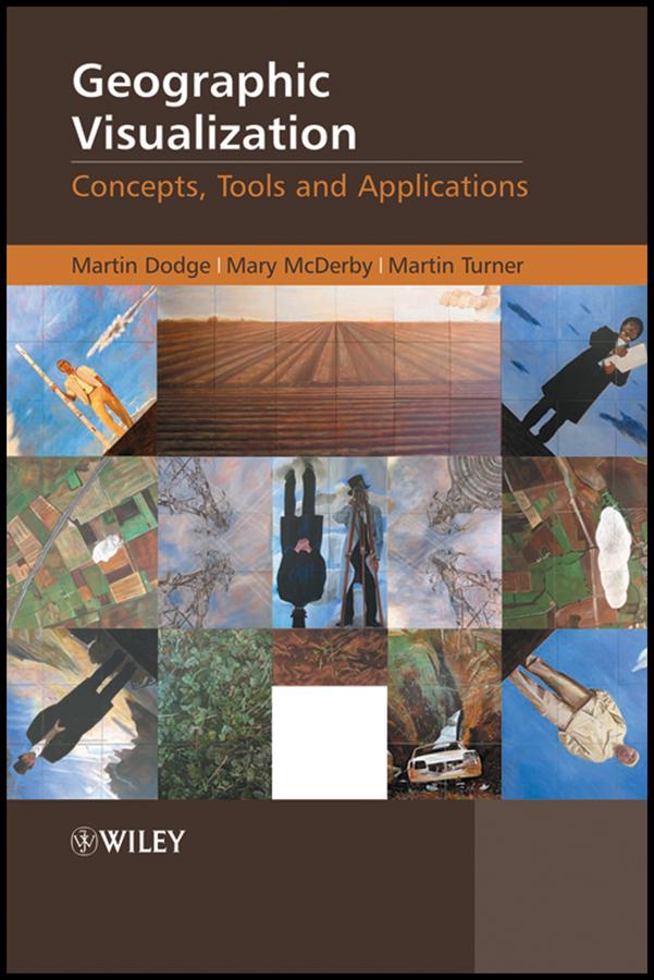
Geographic Visualization: Concepts, Tools and Applications is a 'state-of-the-art' review of the latest developments in the subject. It examines how new concepts, methods and tools can be creatively applied to solve problems relevant to a wide range of topics. The text covers the impact of three-dimensional displays on user interaction along with the potentialities in animation and clearly explains how to create temporally sensitive visualizations. It also explores the potential for handling mobile data and representing uncertainty; as well as the role of participatory visualization systems and exploratory methods.
Hallmark Features:
- An introduction to the diverse forms of geographic visualization which draws upon a number of theoretical perspectives and disciplines to provide an insightful commentary on new methods, techniques and tools.
- Richly illustrated in full colour throughout, including numerous relevant case studies and accessible discussions of important visualization concepts to enable clearer understanding for non-technical audiences.
- Chapters are written by leading scholars and researchers in a range of cognate fields, including, cartography, GIScience, architecture, art, urban planning and computer graphics with case studies drawn from Europe, North America and Australia
This book is an invaluable resource for all graduate students, researchers and professionals working in the geographic information sector, computer graphics and cartography.
Zahle einfach mit Karte, Klarna, Apple Pay oder Google Pay. Nicht zufrieden? Du hast immer ein 14-tägiges Widerrufsrecht. Lies mehr in unseren AGB. Hast du Fragen, schreib uns eine E-Mail an hello@memmo.org.
Memmo macht das Lernen einfacher – wo auch immer du bist. Bei uns findest du deine Kursbücher und smarte Lerntools an einem Ort: Zusammenfassungen, Quizzes, Podcasts und Lernkarten. Und Ted, dein Lernbuddy, beantwortet alles, was du wissen möchtest. Über 50.000 Studierende lernen bereits hier – gemacht, damit du schneller lernst und weniger Stress hast.