
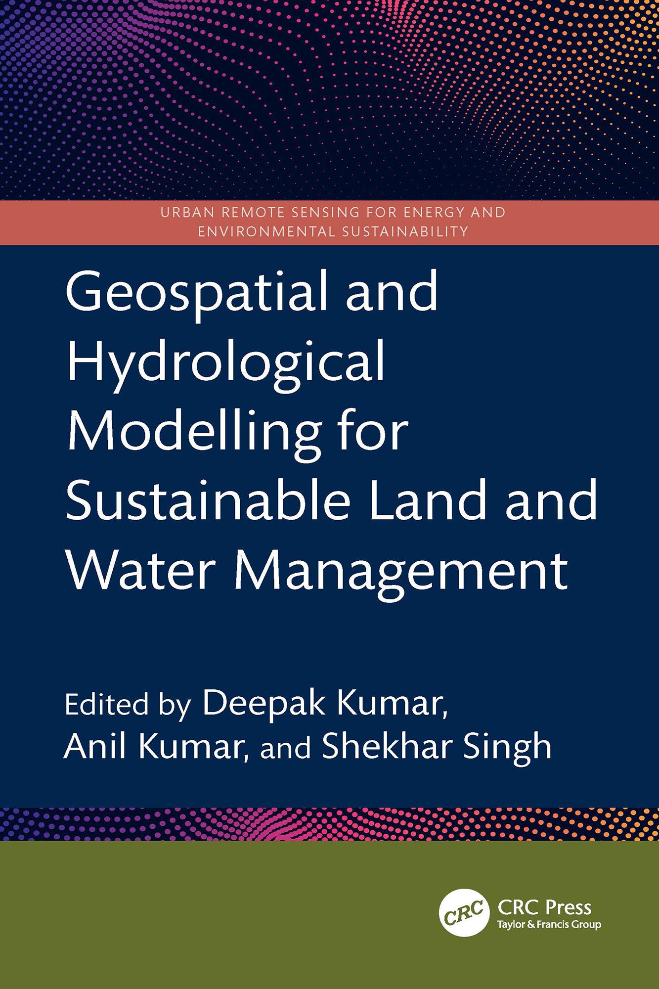
This book presents a holistic scientific approach to addressing current and future challenges in the sustainable management of land and water resources, supported by geospatial and hydrological modelling. It explores remote sensing integrated with hydrological modelling for watershed management, land and water resource planning, soil erosion and sediment transport studies using satellite data, and climate change impact assessments on land and water systems all illustrated through case studies.
- Focuses on both geospatial and hydrological modelling for effective land and water resource management
- Covers topics including Google Earth Engine, forest land management, coastal land issues, geo-hydrology, and salinity problems
- Discusses Intergovernmental Panel on Climate Change (IPCC) guidelines for water resource management
- Incorporates big data and machine learning applications in water resource management
- Reviews digital image processing techniques applied to satellite data
This book is intended for researchers and professionals in hydrological engineering, geospatial technologies, and environmental engineering.
Zahle einfach mit Karte, Klarna, Apple Pay oder Google Pay. Nicht zufrieden? Du hast immer ein 14-tägiges Widerrufsrecht. Lies mehr in unseren AGB. Hast du Fragen, schreib uns eine E-Mail an hello@memmo.org.
Memmo macht das Lernen einfacher – wo auch immer du bist. Bei uns findest du deine Kursbücher und smarte Lerntools an einem Ort: Zusammenfassungen, Quizzes, Podcasts und Lernkarten. Und Ted, dein Lernbuddy, beantwortet alles, was du wissen möchtest. Über 50.000 Studierende lernen bereits hier – gemacht, damit du schneller lernst und weniger Stress hast.