
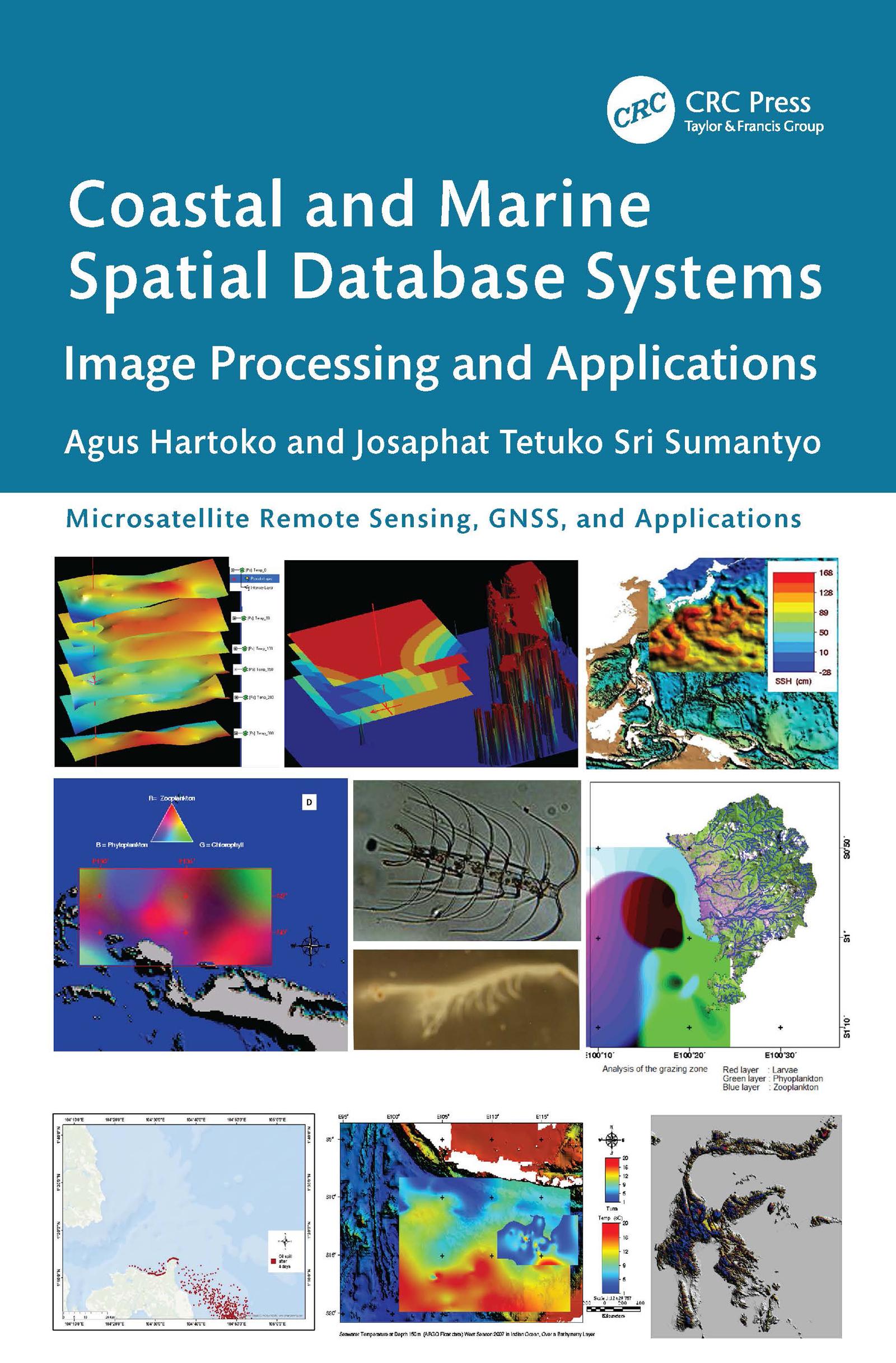
This book is focused on a specialized but important subject of coastal and marine ecosystem management based on remote sensing imageries, such as Synthetic Aperture Radar (SAR) from Sentinel-1, MultiSpectral Instrument (MSI) from Sentinel-2A and Landsat, bathymetry form GEBCO, sea surface temperature (SST) from CMEMS. It includes practical case studies with thematic datasets and clear step-by-step instructions for data processing. Key resources for advanced knowledge on coastal and marine ecosystem conservation, zonation, planning, and management based on satellite imaging data are also presented.
Features
- Provides innovative methods and advanced analytical approaches for processing satellite and radar data tailored to specific applications
- Includes case studies of best practices in marine studies and coastal disaster management from Indonesia, Japan, Malaysia, Vietnam, and China
- Explains how to build a new thematic spatial database system and how to develop an individual new thematic algorithm
- Showcases thematic spatial database systems that serve as the foundation for local and national regulatory frameworks and support international solutions to environmental challenges
- Describes limitations and future possibilities for additional studies
This is a vital resource for professionals, researchers, and students using remote sensing applications in various fields, especially in marine sciences and oceanography.
Zahle einfach mit Karte, Klarna, Apple Pay oder Google Pay. Nicht zufrieden? Du hast immer ein 14-tägiges Widerrufsrecht. Lies mehr in unseren AGB. Hast du Fragen, schreib uns eine E-Mail an hello@memmo.org.
Memmo macht das Lernen einfacher – wo auch immer du bist. Bei uns findest du deine Kursbücher und smarte Lerntools an einem Ort: Zusammenfassungen, Quizzes, Podcasts und Lernkarten. Und Ted, dein Lernbuddy, beantwortet alles, was du wissen möchtest. Über 50.000 Studierende lernen bereits hier – gemacht, damit du schneller lernst und weniger Stress hast.