
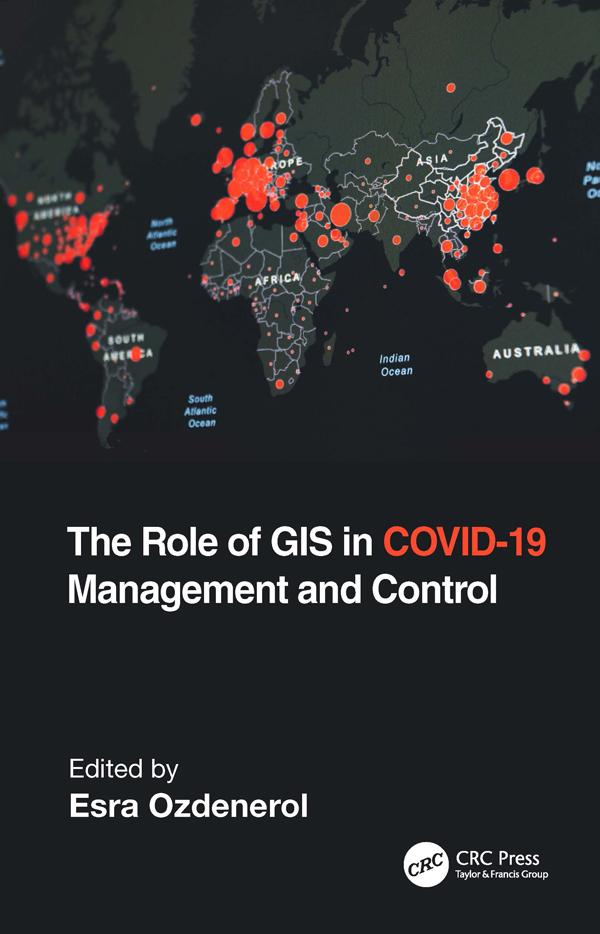
Geographic Information System (GIS) is one of the most important tools to help us understand public health and many aspects of our lives. Because of COVID-19, GIS has been brought into the spotlight more than ever before. People and civic leaders worldwide are turning to maps and real-time surveillance data to make sense of what has been happening in the world and to get answers to important questions on every aspect of this pandemic. This book examines the role of GIS in managing and controlling the spread of COVID-19 through 12 global projects and a multidisciplinary approach. It explains the innovative uses of GIS not only limited to data organization and data access, but also how improved GIS tools are used to make decisions, plan, and communicate various measures of control in both local and full-scale outbreaks during the COVID-19 pandemic.
Features:
- Provides cutting-edge GIS visualization, spatial temporal pattern, and hot spot tracking applications used for predictive modeling of COVID-19.
- Includes real-world case studies with broad geographic scope that reflect COVID-19 trends in cases, deaths, and vaccinations.
- Provides lifestyle segmentation analysis on the risk of transmission of COVID-19 and spatial patterns of vaccination hesitancy.
- Highlights real-world issues brought to light with the help of GIS, such as social discrimination, inequalities in women’s access to mental health care, and analyzes the risk of transmission due to vaccination hesitancy.
- Shows the use of GIS and spatial analysis in pandemic mapping, management, and control from masking and social distancing to testing site locations accounting for at-risk and vulnerable populations.
- Discusses facilitating policy making with GIS.
Edited by a very talented medical geographer and GIS Professor Dr. Esra Ozdenerol, this book highlights key GIS capabilities and lessons learned during the COVID-19 response that can help communities prepare for the next crisis. It is a great resource for industry professionals and experts in health care, public health and safety, disaster management, and for students, academics, and researchers interested in applying GIS and spatial analysis to the study of COVID-19 and other pandemics.
Zahle einfach mit Karte, Klarna, Apple Pay oder Google Pay. Nicht zufrieden? Du hast immer ein 14-tägiges Widerrufsrecht. Lies mehr in unseren AGB. Hast du Fragen, schreib uns eine E-Mail an hello@memmo.org.
Memmo macht das Lernen einfacher – wo auch immer du bist. Bei uns findest du deine Kursbücher und smarte Lerntools an einem Ort: Zusammenfassungen, Quizzes, Podcasts und Lernkarten. Und Ted, dein Lernbuddy, beantwortet alles, was du wissen möchtest. Über 50.000 Studierende lernen bereits hier – gemacht, damit du schneller lernst und weniger Stress hast.