
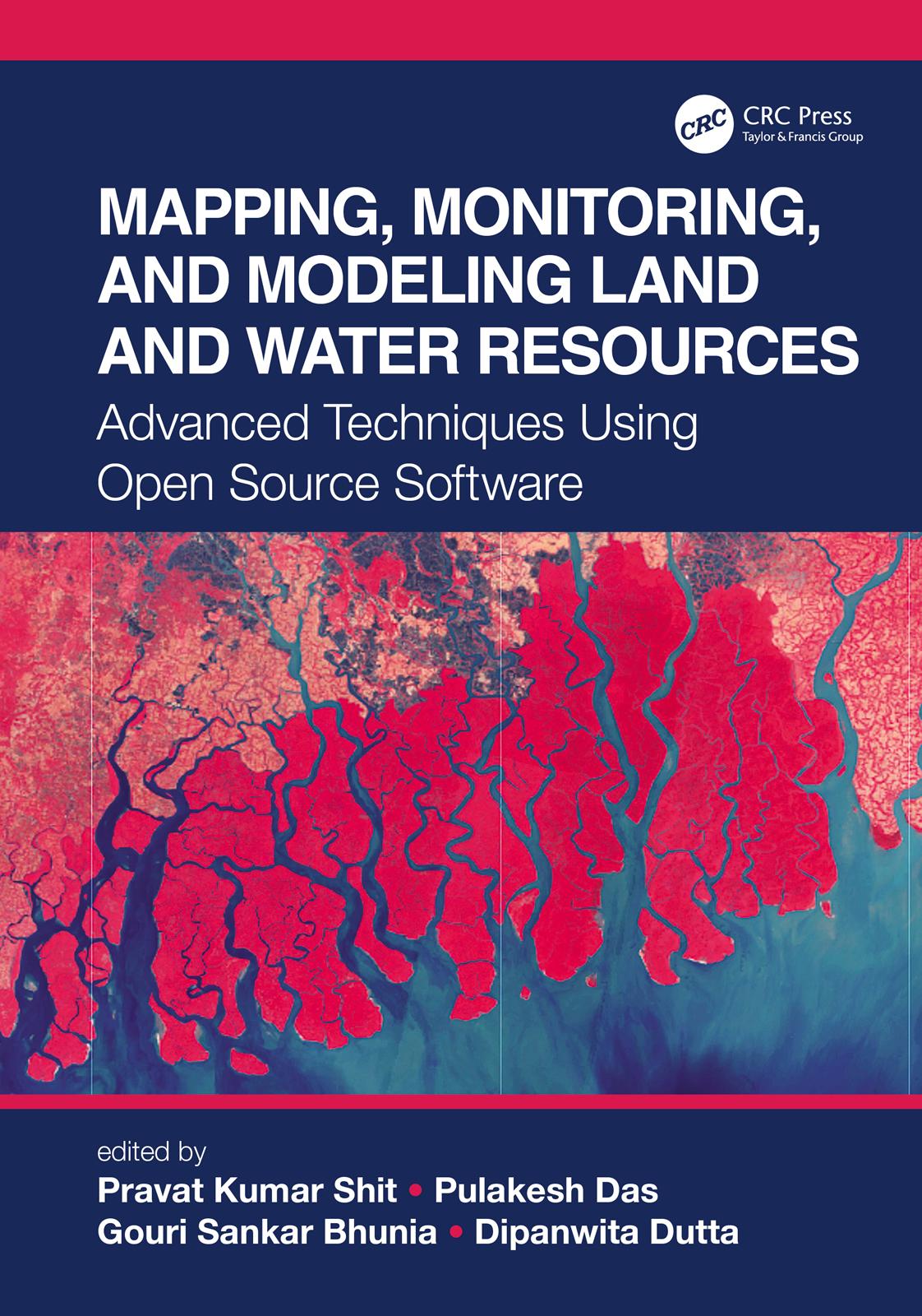
The wide range of challenges in studying Earth system dynamics due to uncertainties in climate change and complex interference from human activities is creating difficulties in managing land and water resources and ensuring their sustainable use. Mapping, Monitoring, and Modeling Land and Water Resources brings together real-world case studies accurately surveyed and assessed through spatial modeling. The book focuses on the effectiveness of combining remote sensing, geographic information systems, and R. The use of open source software for different spatial modeling cases in various fields, along with the use of remote sensing and geographic information systems, will aid researchers, students, and practitioners to understand better the phenomena and the predictions by future analyses for problem-solving and decision-making.
Zahle einfach mit Karte, Klarna, Apple Pay oder Google Pay. Nicht zufrieden? Du hast immer ein 14-tägiges Widerrufsrecht. Lies mehr in unseren AGB. Hast du Fragen, schreib uns eine E-Mail an hello@memmo.org.
Memmo macht das Lernen einfacher – wo auch immer du bist. Bei uns findest du deine Kursbücher und smarte Lerntools an einem Ort: Zusammenfassungen, Quizzes, Podcasts und Lernkarten. Und Ted, dein Lernbuddy, beantwortet alles, was du wissen möchtest. Über 50.000 Studierende lernen bereits hier – gemacht, damit du schneller lernst und weniger Stress hast.