
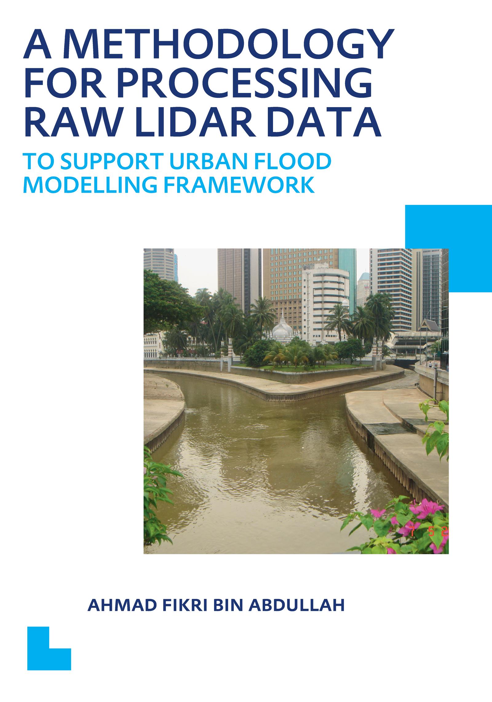
The consequences of recent floods and flash floods in many parts of the world have been devastating. One way to improving flood management practice is to invest in data collection and modelling activities which enable an understanding of the functioning of a system and the selection of optimal mitigation measures. A Digital Terrain Model (DTM) provides the most essential information for flood managers. Light Detection and Ranging (LiDAR) surveys which enable the capture of spot heights at a spacing of 0.5m to 5m with a horizontal accuracy of 0.3m and a vertical accuracy of 0.15m can be used to develop high accuracy DTM but needs careful processing before using it for any application.This book presents the augmentation of an existing Progressive Morphological filtering algorithm for processing raw LiDAR data to support a 1D/2D urban flood modelling framework. The key characteristics of this improved algorithm are: (1) the ability to deal with different kinds of buildings; (2) the ability to detect elevated road/rail lines and represent them in accordance to the reality; (3) the ability to deal with bridges and riverbanks; and (4) the ability to recover curbs and the use of appropriated roughness coefficient of Manning‘s value to represent close-to-earth vegetation (e.g. grass and small bush).
Zahle einfach mit Karte, Klarna, Apple Pay oder Google Pay. Nicht zufrieden? Du hast immer ein 14-tägiges Widerrufsrecht. Lies mehr in unseren AGB. Hast du Fragen, schreib uns eine E-Mail an hello@memmo.org.
Memmo macht das Lernen einfacher – wo auch immer du bist. Bei uns findest du deine Kursbücher und smarte Lerntools an einem Ort: Zusammenfassungen, Quizzes, Podcasts und Lernkarten. Und Ted, dein Lernbuddy, beantwortet alles, was du wissen möchtest. Über 50.000 Studierende lernen bereits hier – gemacht, damit du schneller lernst und weniger Stress hast.
Das könnte dir auch gefallen
Buch kaufen0