
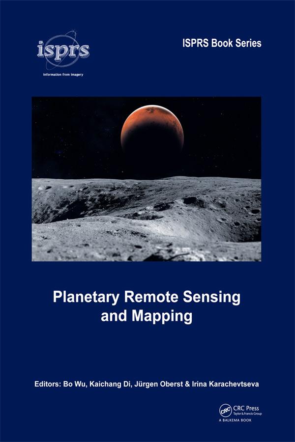
The early 21st century marks a new era in space exploration. The National Aeronautics and Space Administration (NASA) of the United States, The European Space Agency (ESA), as well as space agencies of Japan, China, India, and other countries have sent their probes to the Moon, Mars, and other planets in the solar system. Planetary Remote Sensing and Mapping introduces original research and new developments in the areas of planetary remote sensing, photogrammetry, mapping, GIS, and planetary science resulting from the recent space exploration missions.
Topics covered include:
- Reference systems of planetary bodies
- Planetary exploration missions and sensors
- Geometric information extraction from planetary remote sensing data
- Feature information extraction from planetary remote sensing data
- Planetary remote sensing data fusion
- Planetary data management and presentation
Planetary Remote Sensing and Mapping will serve scientists and professionals working in the planetary remote sensing and mapping areas, as well as planetary probe designers, engineers, and planetary geologists and geophysicists. It also provides useful reading material for university teachers and students in the broader areas of remote sensing, photogrammetry, cartography, GIS, and geodesy.
Zahle einfach mit Karte, Klarna, Apple Pay oder Google Pay. Nicht zufrieden? Du hast immer ein 14-tägiges Widerrufsrecht. Lies mehr in unseren AGB. Hast du Fragen, schreib uns eine E-Mail an hello@memmo.org.
Memmo macht das Lernen einfacher – wo auch immer du bist. Bei uns findest du deine Kursbücher und smarte Lerntools an einem Ort: Zusammenfassungen, Quizzes, Podcasts und Lernkarten. Und Ted, dein Lernbuddy, beantwortet alles, was du wissen möchtest. Über 50.000 Studierende lernen bereits hier – gemacht, damit du schneller lernst und weniger Stress hast.