
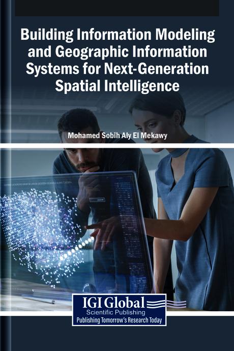
The integration of building information modeling (BIM) and geographic information systems (GIS) develops innovative spatial intelligence. BIM provides detailed representations of built environments, while GIS captures the geographical and environmental context in which these structures exist. When combined, these systems enable a seamless flow of spatial information, from individual buildings to entire cities, enhancing decision-making in urban planning, infrastructure management, and sustainable development. This convergence fosters a more holistic understanding of spatial relationships, supporting smarter, data-driven approaches to design, construction, and governance in an interconnected world. Building Information Modeling and Geographic Information Systems for Next-Generation Spatial Intelligence explores the convergence of BIM and GIS in the field of urban planning. It examines how the integration of these tools revolutionizes the design, analysis, and management of urban environments for smarter, more sustainable cities. This book covers topics such as data science, civil engineering, and environmental science, and is a useful resource for engineers, policymakers, academicians, researchers, and scientists.
Pagine: 294
Categoria: Arkitektur & Stadsplanering
e-ISBN: 9798337340616
Peso di spedizione: 1.2 kg
Spedito in: 1-2 giorni
Paga facilmente con carta, Klarna, Apple Pay o Google Pay. Non sei soddisfatto? Hai sempre 14 giorni per il rimborso. Leggi di più nei nostri termini. Per qualsiasi domanda, scrivici a hello@memmo.org.
Memmo rende lo studio più facile, ovunque tu sia nel mondo. Qui trovi i tuoi libri di testo e strumenti di studio intelligenti, tutto in un unico posto: riassunti, quiz, podcast e flashcard. E poi c'è Ted, il tuo compagno di studio che risponde a ogni tua domanda. Oltre 50.000 studenti studiano già qui: è stato creato per aiutarti a imparare più velocemente e a stressarti meno.
Potrebbe interessarti anche
Acquista il libro0