
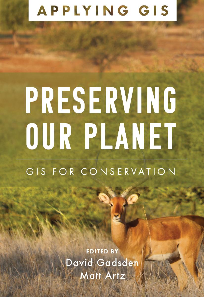
Discover the geographic approach to conservation land management and landscape conservation.
Geographic information system (GIS) technology offers a comprehensive tool for conservation professionals. A modern GIS gives users a real-time look at their data, locations, and their relationships. When applied to conservation, it reveals dependencies and challenges across multiple environments. Through maps and apps, conservation professionals can observe the field, analyze and organize their data, and collaborate with other organizations and the public on addressing threats and opportunities found. Preserving Our Planet: GIS for Conservation explores a collection of real-life stories about conservation organizations successfully using GIS to meet challenges to biodiversity preservation in our rapidly changing world.
The book also includes a section on next steps that provides ideas, strategies, tools, and actions to help you jump-start your own use of GIS for conservation. A collection of online resources, including additional stories, videos, new ideas and concepts, and downloadable tools and content, complements this book.
Edited by David Gadsden, director of conservation solutions at Esri, and Matt Artz, an Esri content strategist.
Paga facilmente con carta, Klarna, Apple Pay o Google Pay. Non sei soddisfatto? Hai sempre 14 giorni per il rimborso. Leggi di più nei nostri termini. Per qualsiasi domanda, scrivici a hello@memmo.org.
Memmo rende lo studio più facile, ovunque tu sia nel mondo. Qui trovi i tuoi libri di testo e strumenti di studio intelligenti, tutto in un unico posto: riassunti, quiz, podcast e flashcard. E poi c'è Ted, il tuo compagno di studio che risponde a ogni tua domanda. Oltre 50.000 studenti studiano già qui: è stato creato per aiutarti a imparare più velocemente e a stressarti meno.