
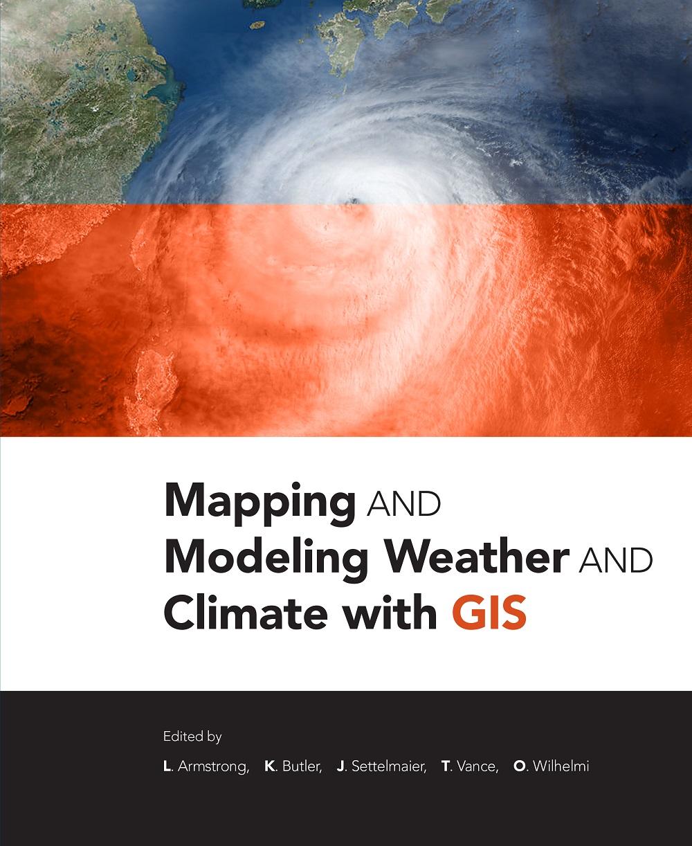
Mapping and Modeling Weather and Climate with GIS is a contributed volume of 23 chapters from leading climatologists, meteorologists, and other experts about how geospatial cartography and analysis helps to advance atmospheric science research. Coverage includes data and software resources, data representation, observations, modeling, data-model integration, web services, and the areas of current and potential cross-fertilization of atmospheric and geospatial sciences. Providing both the concepts and practices of mapping and modeling projects, the book is useful to novices using GIS on weather and climate projects. Practitioners and managers will gain a clear picture of the advances in GIS for atmospheric sciences and appreciate the helpful lists of available geospatial resources.
Categoria: Miljövetenskap & Klimat
e-ISBN: 9781589484054
Paga facilmente con carta, Klarna, Apple Pay o Google Pay. Non sei soddisfatto? Hai sempre 14 giorni per il rimborso. Leggi di più nei nostri termini. Per qualsiasi domanda, scrivici a hello@memmo.org.
Memmo rende lo studio più facile, ovunque tu sia nel mondo. Qui trovi i tuoi libri di testo e strumenti di studio intelligenti, tutto in un unico posto: riassunti, quiz, podcast e flashcard. E poi c'è Ted, il tuo compagno di studio che risponde a ogni tua domanda. Oltre 50.000 studenti studiano già qui: è stato creato per aiutarti a imparare più velocemente e a stressarti meno.
Potrebbe interessarti anche
Acquista il libro0