
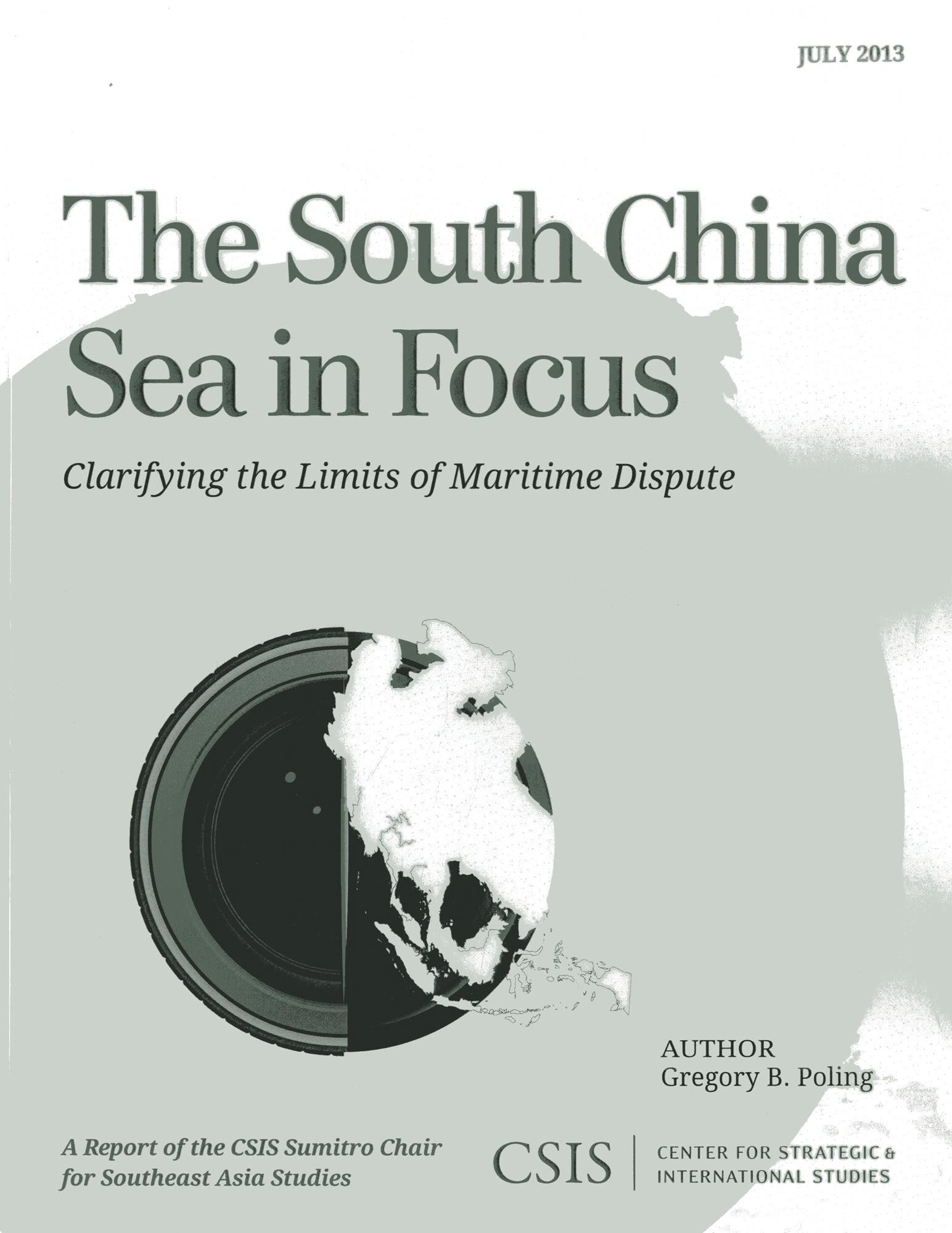
Satellite imagery and geospatial analysis tools offer an unprecedented opportunity to harness new technologies in order to help resolve boundary disputes. The South China Sea in Focus: Clarifying the Limits of Maritime Dispute uses these tools to provide a first and necessary step toward tackling the overlapping maritime disputes in the South China Sea: determining which waters are and are not in dispute under international law. The report opens with a set of geographic information system (GIS)–based maps that provide an easily understandable benchmark against which policymakers and academics can judge the claims and actions of the South China Sea claimants. More detailed color maps and methodological information follow for those who want to dig deeper into the claims and the report’s conclusions.
Pagine: 44
Categoria: Statsvetenskap & Politik
e-ISBN: 9781442224865
Peso di spedizione: 1.2 kg
Spedito in: 1-2 giorni
Paga facilmente con carta, Klarna, Apple Pay o Google Pay. Non sei soddisfatto? Hai sempre 14 giorni per il rimborso. Leggi di più nei nostri termini. Per qualsiasi domanda, scrivici a hello@memmo.org.
Memmo rende lo studio più facile, ovunque tu sia nel mondo. Qui trovi i tuoi libri di testo e strumenti di studio intelligenti, tutto in un unico posto: riassunti, quiz, podcast e flashcard. E poi c'è Ted, il tuo compagno di studio che risponde a ogni tua domanda. Oltre 50.000 studenti studiano già qui: è stato creato per aiutarti a imparare più velocemente e a stressarti meno.