
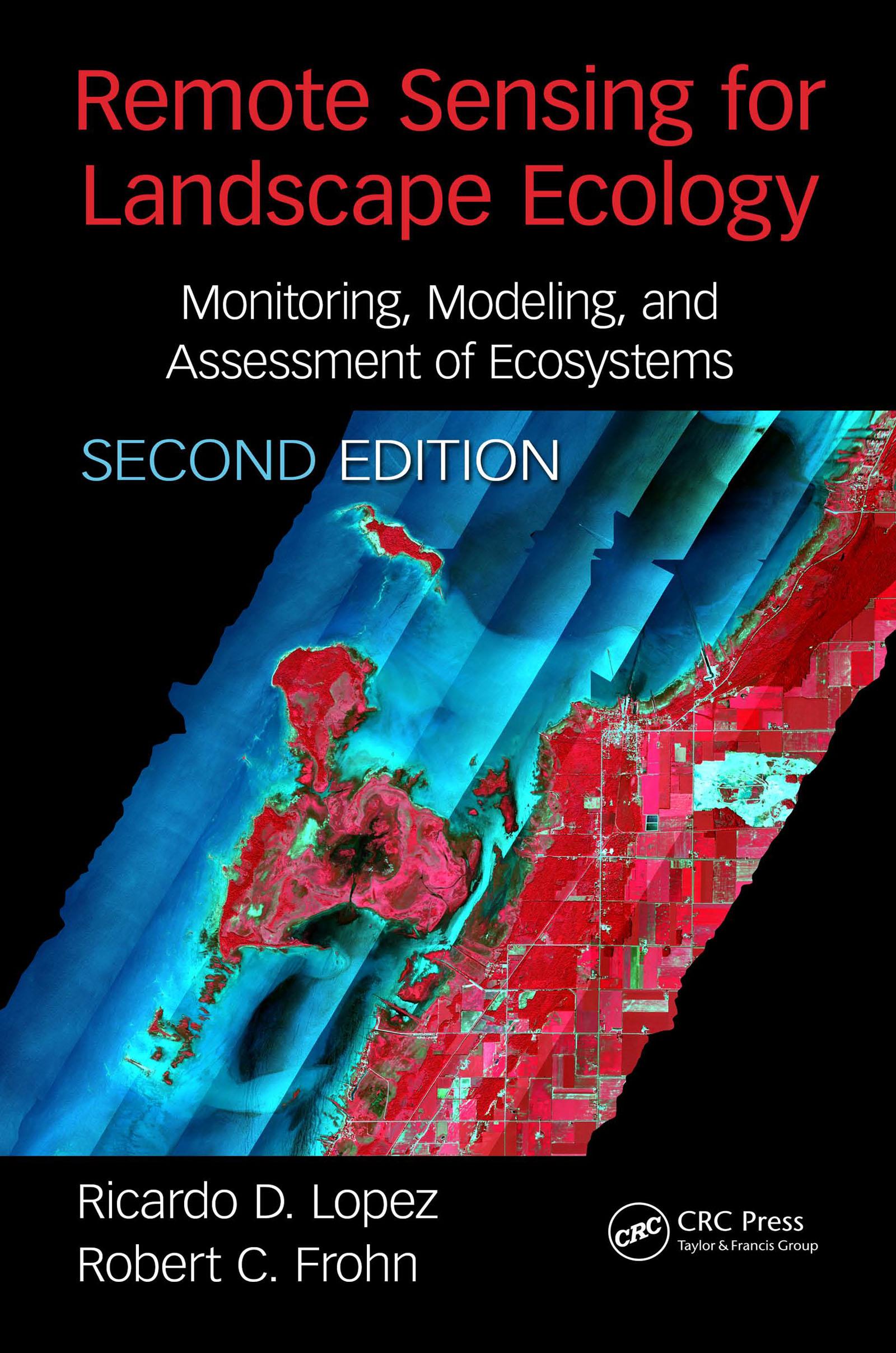
This book provides the practical basis for the use of remote sensing to accomplish landscape ecological projects, through the merging of theory and practice, with examples. This is a specialized application and both these topics have evolved rapidly in the past decade. This evolution is not in the previous edition, and indeed this update provides much new information and valuable ideas for the professional and assist in directing the training of new personnel. The new edition will feature a combination of landscape ecology metrics, quantitative field measurements, and geospatial analyses.
Paga facilmente con carta, Klarna, Apple Pay o Google Pay. Non sei soddisfatto? Hai sempre 14 giorni per il rimborso. Leggi di più nei nostri termini. Per qualsiasi domanda, scrivici a hello@memmo.org.
Memmo rende lo studio più facile, ovunque tu sia nel mondo. Qui trovi i tuoi libri di testo e strumenti di studio intelligenti, tutto in un unico posto: riassunti, quiz, podcast e flashcard. E poi c'è Ted, il tuo compagno di studio che risponde a ogni tua domanda. Oltre 50.000 studenti studiano già qui: è stato creato per aiutarti a imparare più velocemente e a stressarti meno.