
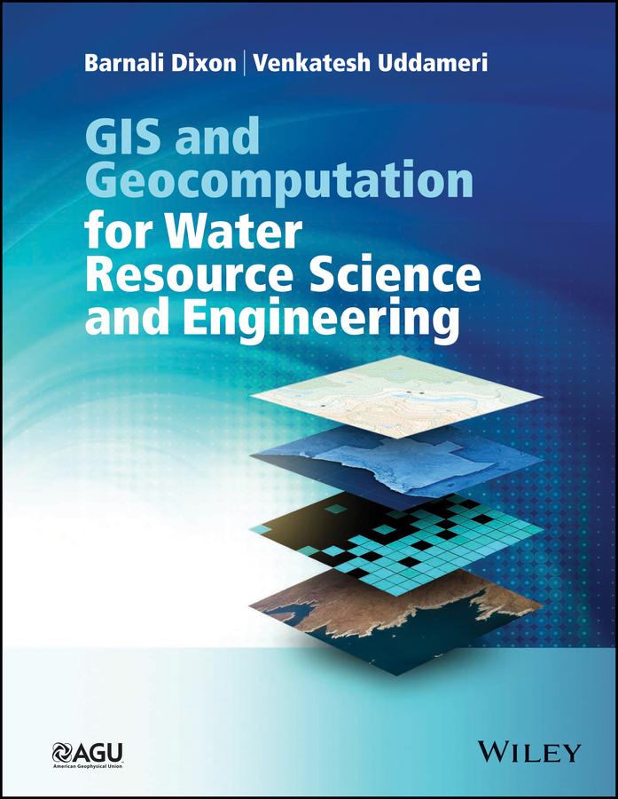
GIS and Geocomputation for Water Resource Science and Engineering not only provides a comprehensive introduction to the fundamentals of geographic information systems but also demonstrates how GIS and mathematical models can be integrated to develop spatial decision support systems to support water resources planning, management and engineering. The book uses a hands-on active learning approach to introduce fundamental concepts and numerous case-studies are provided to reinforce learning and demonstrate practical aspects. The benefits and challenges of using GIS in environmental and water resources fields are clearly tackled in this book, demonstrating how these technologies can be used to harness increasingly available digital data to develop spatially-oriented sustainable solutions. In addition to providing a strong grounding on fundamentals, the book also demonstrates how GIS can be combined with traditional physics-based and statistical models as well as information-theoretic tools like neural networks and fuzzy set theory.
Paga facilmente con carta, Klarna, Apple Pay o Google Pay. Non sei soddisfatto? Hai sempre 14 giorni per il rimborso. Leggi di più nei nostri termini. Per qualsiasi domanda, scrivici a hello@memmo.org.
Memmo rende lo studio più facile, ovunque tu sia nel mondo. Qui trovi i tuoi libri di testo e strumenti di studio intelligenti, tutto in un unico posto: riassunti, quiz, podcast e flashcard. E poi c'è Ted, il tuo compagno di studio che risponde a ogni tua domanda. Oltre 50.000 studenti studiano già qui: è stato creato per aiutarti a imparare più velocemente e a stressarti meno.