
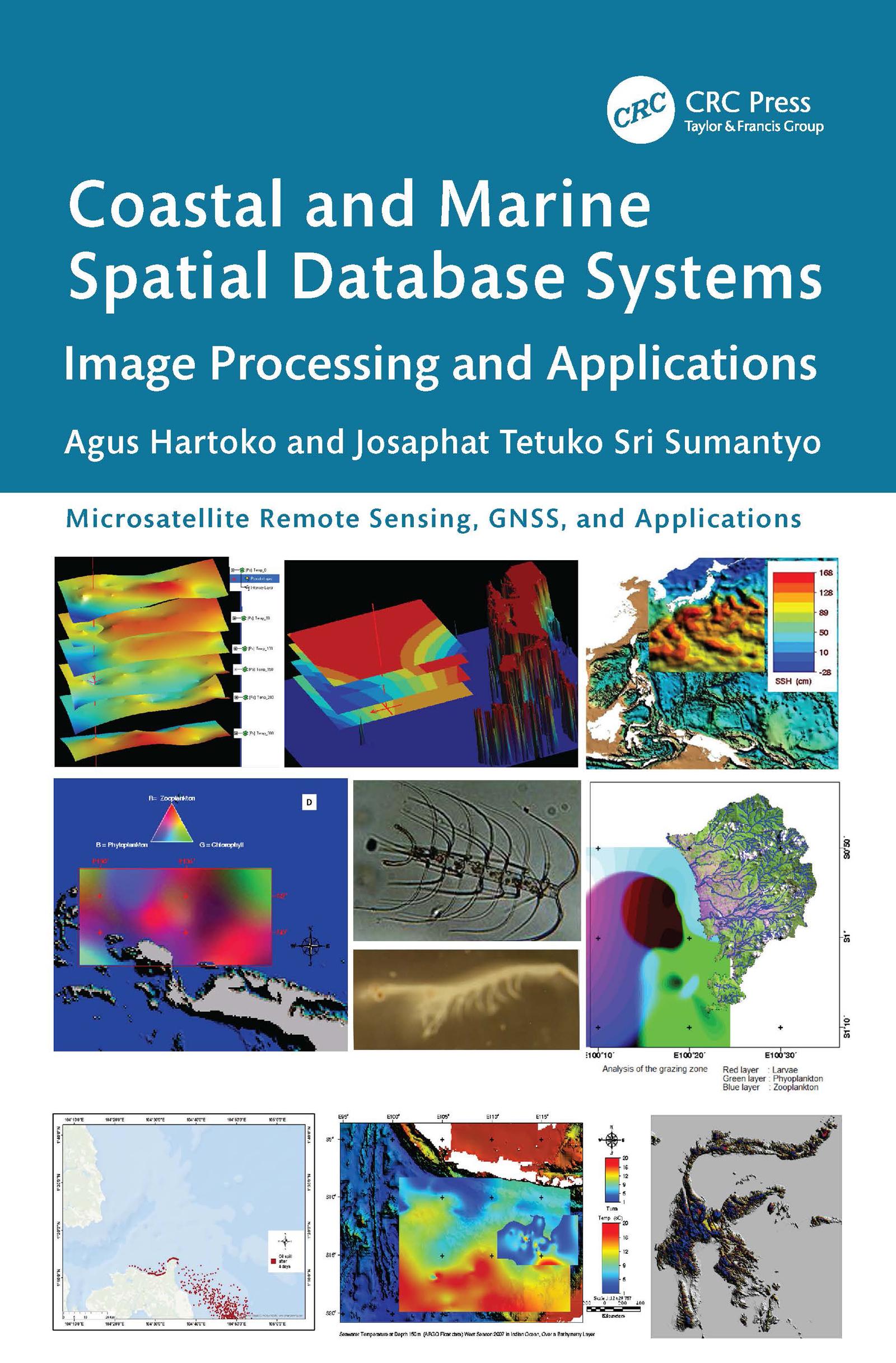
This book is focused on a specialized but important subject of coastal and marine ecosystem management based on remote sensing imageries, such as Synthetic Aperture Radar (SAR) from Sentinel-1, MultiSpectral Instrument (MSI) from Sentinel-2A and Landsat, bathymetry form GEBCO, sea surface temperature (SST) from CMEMS. It includes practical case studies with thematic datasets and clear step-by-step instructions for data processing. Key resources for advanced knowledge on coastal and marine ecosystem conservation, zonation, planning, and management based on satellite imaging data are also presented.
Features
- Provides innovative methods and advanced analytical approaches for processing satellite and radar data tailored to specific applications
- Includes case studies of best practices in marine studies and coastal disaster management from Indonesia, Japan, Malaysia, Vietnam, and China
- Explains how to build a new thematic spatial database system and how to develop an individual new thematic algorithm
- Showcases thematic spatial database systems that serve as the foundation for local and national regulatory frameworks and support international solutions to environmental challenges
- Describes limitations and future possibilities for additional studies
This is a vital resource for professionals, researchers, and students using remote sensing applications in various fields, especially in marine sciences and oceanography.
Paga facilmente con carta, Klarna, Apple Pay o Google Pay. Non sei soddisfatto? Hai sempre 14 giorni per il rimborso. Leggi di più nei nostri termini. Per qualsiasi domanda, scrivici a hello@memmo.org.
Memmo rende lo studio più facile, ovunque tu sia nel mondo. Qui trovi i tuoi libri di testo e strumenti di studio intelligenti, tutto in un unico posto: riassunti, quiz, podcast e flashcard. E poi c'è Ted, il tuo compagno di studio che risponde a ogni tua domanda. Oltre 50.000 studenti studiano già qui: è stato creato per aiutarti a imparare più velocemente e a stressarti meno.