
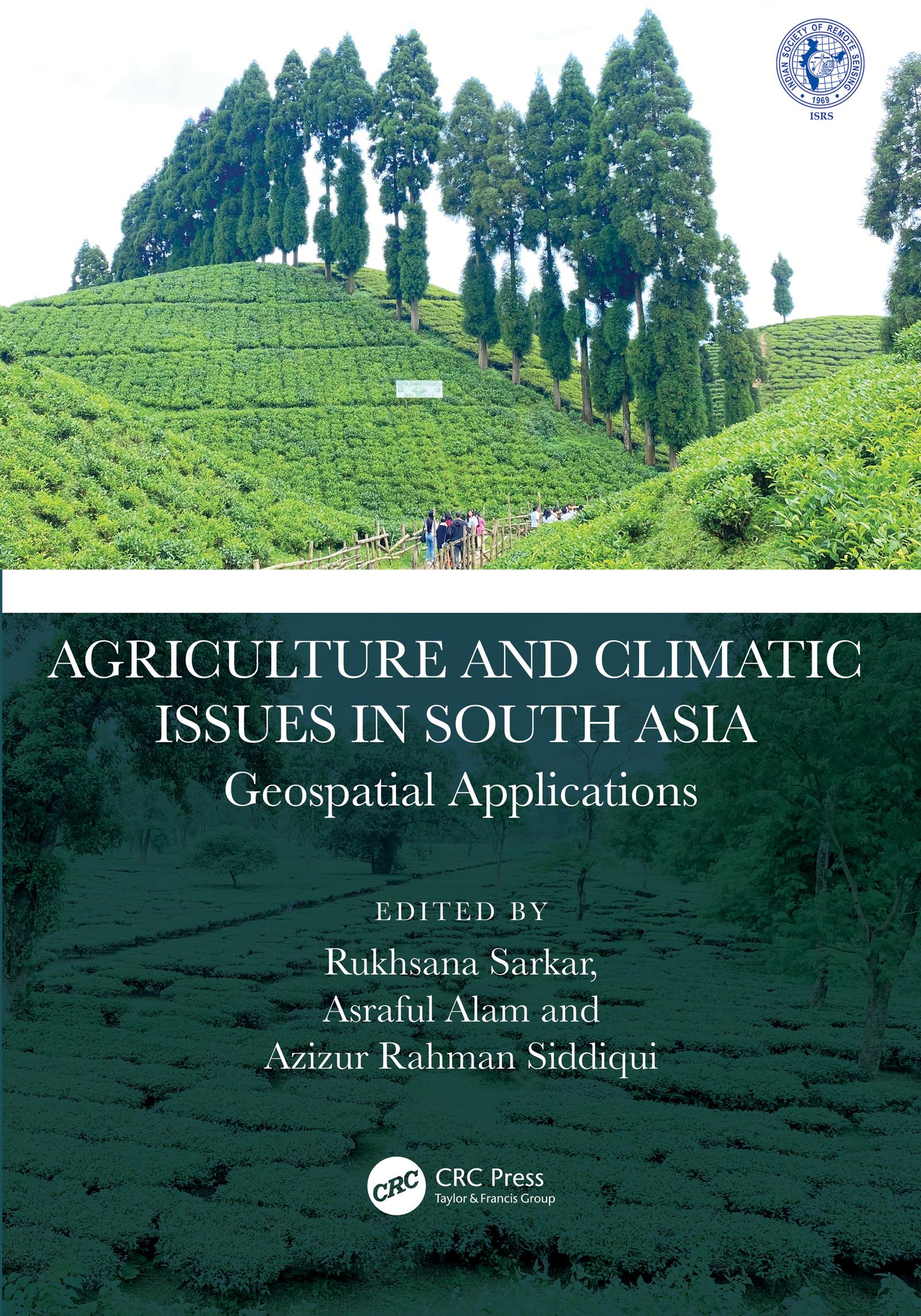
This book presents focussed information related to dynamic cropland transformation, agriculture development, climate change, and environment with the application of advance geospatial technology. It describes research using geospatial tools and techniques to develop the models, design, and planning for agricultural land use optimization especially in south Asian countries. It covers agriculture production, water scarcity, industrial development, natural resources, environmental degradation, and sustainable development.
Features:
- Provides the adaptation strategy from a multidisciplinary resilience perspective
- Addresses contemporary agricultural resilience to various climate change issues
- Develops novel approaches for sustainability with environmentally sound practices
- Discusses methodological and innovative approaches at local to global perspective
- Reports research using geospatial tools and techniques to develop the models, design, and planning for agricultural land use optimization
The book is aimed at researchers, professionals, and graduate students in GIS, environmental engineering, geography, agriculture, and climate studies.
Paga facilmente con carta, Klarna, Apple Pay o Google Pay. Non sei soddisfatto? Hai sempre 14 giorni per il rimborso. Leggi di più nei nostri termini. Per qualsiasi domanda, scrivici a hello@memmo.org.
Memmo rende lo studio più facile, ovunque tu sia nel mondo. Qui trovi i tuoi libri di testo e strumenti di studio intelligenti, tutto in un unico posto: riassunti, quiz, podcast e flashcard. E poi c'è Ted, il tuo compagno di studio che risponde a ogni tua domanda. Oltre 50.000 studenti studiano già qui: è stato creato per aiutarti a imparare più velocemente e a stressarti meno.