
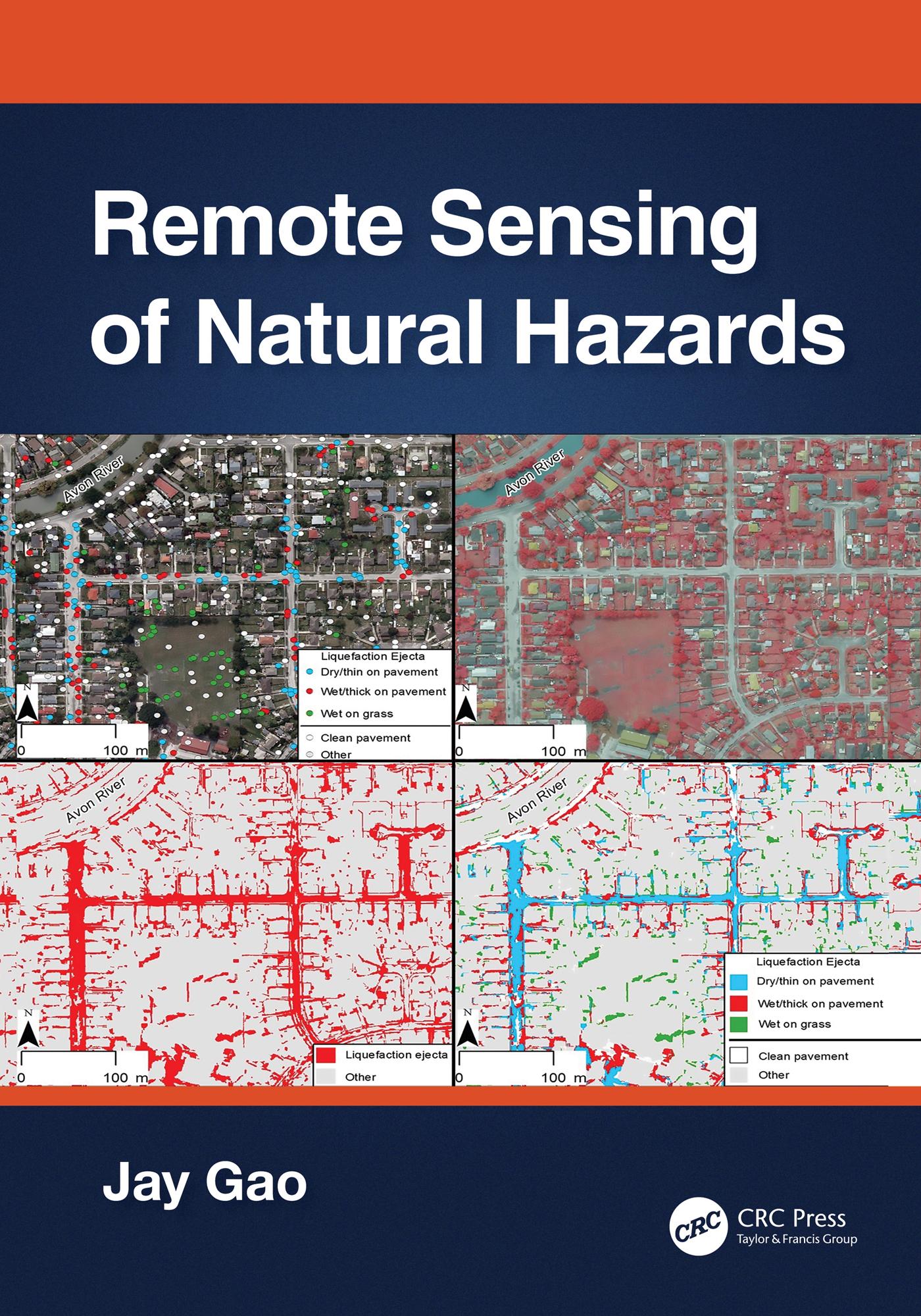
This book presents a comprehensive coverage of remote sensing technology used to gather information on 12 types of natural hazards in the terrestrial sphere, biosphere, hydrosphere, and atmosphere. It clarifies in detail how to yield spatial and quantitative data on a natural hazard, including its spatial distribution, severity, causes, and the likelihood of occurrence. The author explains multiple methods of attaining data, describes the pros and cons of each method, and encourages readers to choose the best method applicable to their case. The author offers a practical approach to data analysis using the most appropriate methods and software.
1. Covers all major natural hazards including hurricanes, tornadoes, wildfires, and avalanches.
2. Studies each natural hazard holistically, ranging from spatial extent, severity, impact assessment, causes, and prediction of occurrence.
3. Explains different remotely sensed data and the most appropriate method used.
4. Compares different ways of sensing and clarifies the pros and cons of any selected data or their analysis.
5. Provides ample examples of each aspect of a natural hazard studied augmented with graphic illustrations and quality assurance information.
All professionals working in the field of natural hazards, senior undergraduate, and graduate students, will find in-depth approaches and sufficient information to become knowledgeable in the methods of yielding and analyzing data provided with remote sensing technology, ultimately providing a deeper understanding of natural hazards.
Paga facilmente con carta, Klarna, Apple Pay o Google Pay. Non sei soddisfatto? Hai sempre 14 giorni per il rimborso. Leggi di più nei nostri termini. Per qualsiasi domanda, scrivici a hello@memmo.org.
Memmo rende lo studio più facile, ovunque tu sia nel mondo. Qui trovi i tuoi libri di testo e strumenti di studio intelligenti, tutto in un unico posto: riassunti, quiz, podcast e flashcard. E poi c'è Ted, il tuo compagno di studio che risponde a ogni tua domanda. Oltre 50.000 studenti studiano già qui: è stato creato per aiutarti a imparare più velocemente e a stressarti meno.