
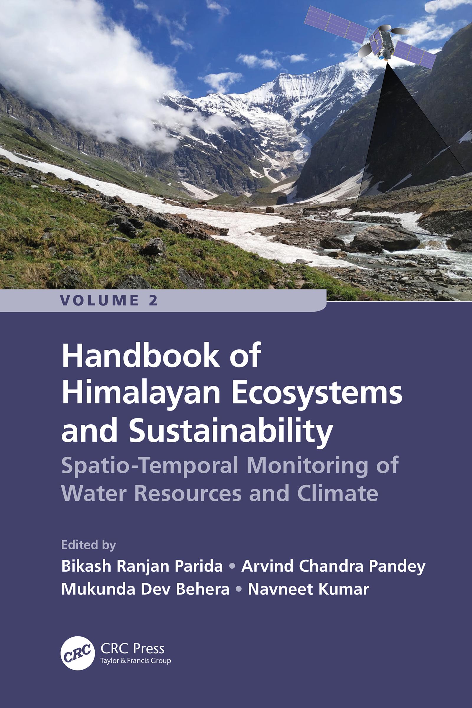
Volume 2: Handbook of Spatio-Temporal Monitoring of Water Resources and Climate is aimed to describe the current state of knowledge and developments of geospatial technologies (Remote Sensing and Geographic Information Systems) for assessing and managing water resources under climate change. It is a collective achievement of renowned researchers and academicians working in the Hindu Kush Himalayan (HKH) mountain range. The HKH region is a part of the Third Pole outside the polar regions due to its largest permanent snow cover. Importantly, the Himalayan belt is geologically fragile and vulnerable to geohazards (e.g. landslides, land subsidence, rockfalls, debris flow, avalanches, and earthquakes). Therefore, critical assessment and geospatial solutions are indispensable to safeguard the natural resources and human beings in the Himalayas using space-borne satellite datasets. This book also showcases various remote sensing techniques and algorithms in the field of urban sprawling, urban microclimate and air pollution. The potential impacts of climate change on the cryosphere and water resources are also highlighted. This comprehensive Handbook is highly interdisciplinary and explains the role of geospatial technologies in studying the water resources of the Himalayas considering climate change.
Key Features
- This book is unique as it focuses on the utility of satellite data for monitoring snow cover variability, snowmelt runoff, glacier lakes, avalanche susceptibility and flood modeling.
- Explain how Remote Sensing techniques are useful for mapping and managing the morphology and ecology of the Himalayan River.
- Addresses how geospatial technologies are valuable for understanding climate change impact on hydrological extremes, the potential impact of land use/land cover change (LULC) on hydrology and water resources management.
- It highlights the impact of LULC changes on land surface temperature, groundwater, and air pollution in urban areas.
- Includes contributions from global professionals working in the HKH region.
Readership
The Handbook serves as a valuable reference for students, researchers, scientists, Hydrologists, hydro-ecologists, meteorologists, geologists, decision makers and all others who wish to advance their knowledge on monitoring and managing water resources and urban ecosystem using remote sensing in the HKH region considering climate change.
Paga facilmente con carta, Klarna, Apple Pay o Google Pay. Non sei soddisfatto? Hai sempre 14 giorni per il rimborso. Leggi di più nei nostri termini. Per qualsiasi domanda, scrivici a hello@memmo.org.
Memmo rende lo studio più facile, ovunque tu sia nel mondo. Qui trovi i tuoi libri di testo e strumenti di studio intelligenti, tutto in un unico posto: riassunti, quiz, podcast e flashcard. E poi c'è Ted, il tuo compagno di studio che risponde a ogni tua domanda. Oltre 50.000 studenti studiano già qui: è stato creato per aiutarti a imparare più velocemente e a stressarti meno.