
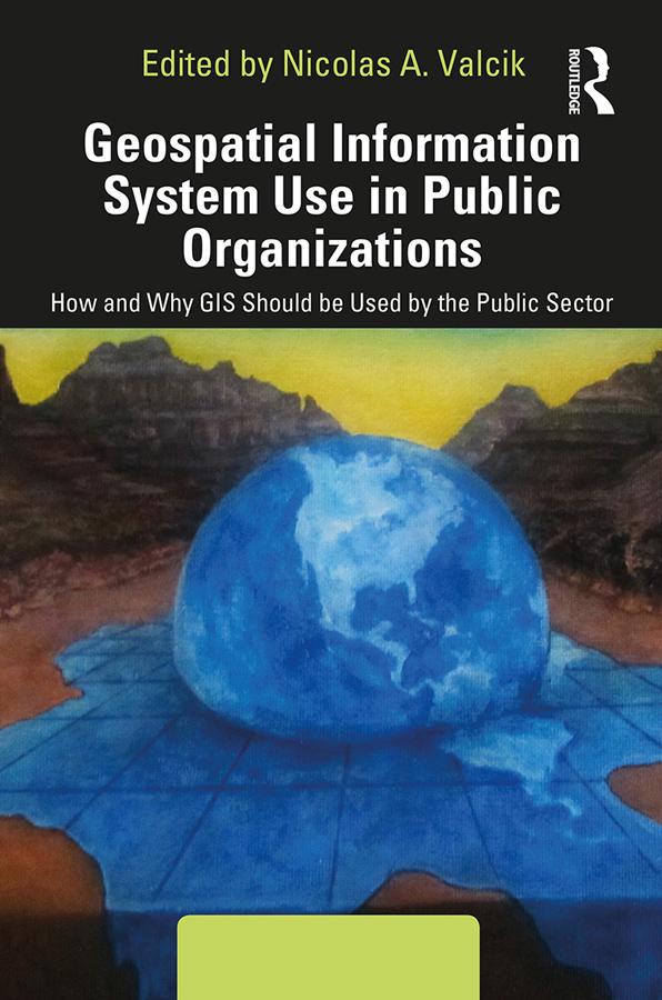
This book shows how Geospatial Information Systems (GIS) can be used for operations management in public institutions. It covers theory and practical applications, ranging from tracking public health trends to mapping transportation routes to charting the safest handling of hazardous materials. Along with an expert line-up of contributors and case studies, the editor provides a complete overview of how to use GIS as part of a successful, collaborative data analysis, and how to translate the information into cost-saving decisions, or even life-saving ones.
Paga facilmente con carta, Klarna, Apple Pay o Google Pay. Non sei soddisfatto? Hai sempre 14 giorni per il rimborso. Leggi di più nei nostri termini. Per qualsiasi domanda, scrivici a hello@memmo.org.
Memmo rende lo studio più facile, ovunque tu sia nel mondo. Qui trovi i tuoi libri di testo e strumenti di studio intelligenti, tutto in un unico posto: riassunti, quiz, podcast e flashcard. E poi c'è Ted, il tuo compagno di studio che risponde a ogni tua domanda. Oltre 50.000 studenti studiano già qui: è stato creato per aiutarti a imparare più velocemente e a stressarti meno.