
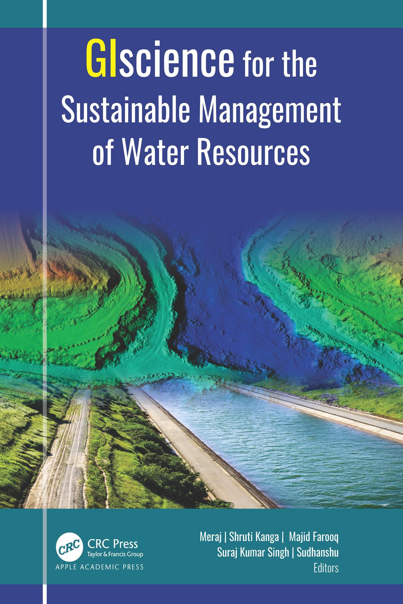
Water is one of the most critical resources of nature that is necessary for sustaining life for all living things. This volume discusses in detail a selection of geospatial approaches, tools, and techniques for understanding the root causes behind the degradation of our water resources.
Satellite remote sensing provides essential data for mapping water resources, hydrology flux measurement, monitoring drought, and flood inundation. With an abundance of informative case studies, this volume discusses the use of the satellite remote sensing and GIS-based systems for managing urban storm water; for flood and soil erosion management; for mapping groundwater zones; for crop production, including measuring soil moisture and aridity; for gauging the impact of climate change; for evaluating glacier change dynamics; for assessing the impact of urban growth on water resources; for measuring the degradation of rivers; and more.
Paga facilmente con carta, Klarna, Apple Pay o Google Pay. Non sei soddisfatto? Hai sempre 14 giorni per il rimborso. Leggi di più nei nostri termini. Per qualsiasi domanda, scrivici a hello@memmo.org.
Memmo rende lo studio più facile, ovunque tu sia nel mondo. Qui trovi i tuoi libri di testo e strumenti di studio intelligenti, tutto in un unico posto: riassunti, quiz, podcast e flashcard. E poi c'è Ted, il tuo compagno di studio che risponde a ogni tua domanda. Oltre 50.000 studenti studiano già qui: è stato creato per aiutarti a imparare più velocemente e a stressarti meno.