
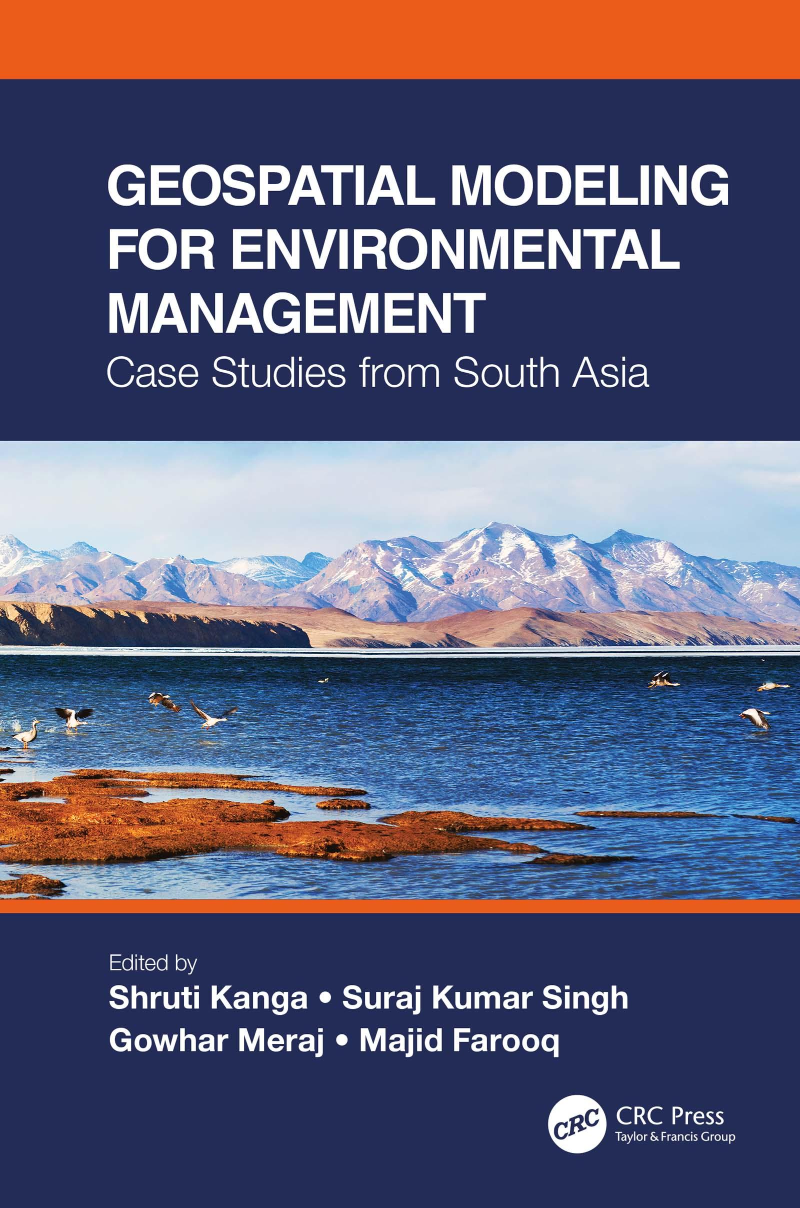
This is a comprehensive resource that integrates the application of innovative remote sensing techniques and geospatial tools in modeling Earth systems for environmental management beyond customary digitization and mapping practices. It identifies the most suitable approaches for a specific environmental problem, emphasizes the importance of physically based modeling, their uncertainty analysis, advantages, and disadvantages. The case studies on the Himalayas with a complex topography call for innovation in geospatial techniques to find solutions for various environmental problems.
Features:
- Presents innovative geospatial methods in environmental modeling of Earth systems.
- Includes case studies from South Asia and discusses different processes and outcomes using spatially explicit models.
- Explains contemporary environmental problems through the analysis of various information layers.
- Provides good practices for developing countries to help manage environmental issues using low-cost geospatial approaches.
- Integrates geospatial modeling with policy and analysis its direct implication in decision making.
Using a systems’ approach analysis, Geospatial Modeling for Environmental Management: Case Studies from South Asia shall serve environmental managers, students, researchers, and policymakers.
Paga facilmente con carta, Klarna, Apple Pay o Google Pay. Non sei soddisfatto? Hai sempre 14 giorni per il rimborso. Leggi di più nei nostri termini. Per qualsiasi domanda, scrivici a hello@memmo.org.
Memmo rende lo studio più facile, ovunque tu sia nel mondo. Qui trovi i tuoi libri di testo e strumenti di studio intelligenti, tutto in un unico posto: riassunti, quiz, podcast e flashcard. E poi c'è Ted, il tuo compagno di studio che risponde a ogni tua domanda. Oltre 50.000 studenti studiano già qui: è stato creato per aiutarti a imparare più velocemente e a stressarti meno.