
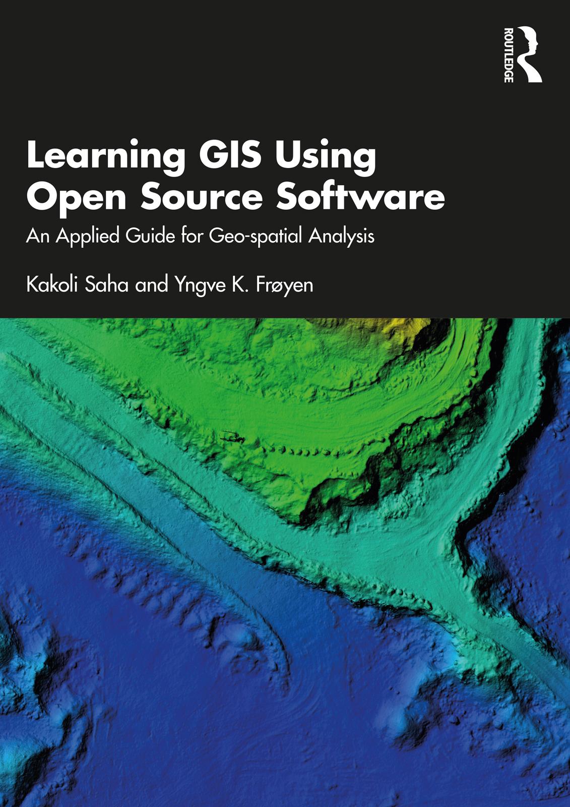
This book introduces the usage, functionality, and application of data in geographic information systems (GIS) for geo-spatial analysis. It offers knowledge on GIS tools and techniques and explains how they can be applied in real-world project to architects and planners in the Indian and the Greater South Asian context using open-source software.
The volume explains concepts on planning and architectural tasks, their data, methods and requirements followed, and includes GIS-related exercises on the same tasks. It takes the reader through the concepts of geo-spatial analysis and its referencing system while quoting examples from India. Further, the content of the book will help the planners involved in preparing GIS-based master planning for cities under the Atal Mission for Rejuvenation and Urban Transformation (AMRUT) scheme (see Glossary for details).
A practical guidebook providing a step-by-step guide to learn open source GIS, this book will be useful for students, scholars and professionals from the field of architecture and planning, geography and other spatial sciences, instructors of GIS courses on planning and architecture, urban and regional planners, transport planners, urban design, landscape architects, environmental planners, departments of town and country planning, and development authorities. It will also be useful for anyone interested in the geospatial analysis.
Paga facilmente con carta, Klarna, Apple Pay o Google Pay. Non sei soddisfatto? Hai sempre 14 giorni per il rimborso. Leggi di più nei nostri termini. Per qualsiasi domanda, scrivici a hello@memmo.org.
Memmo rende lo studio più facile, ovunque tu sia nel mondo. Qui trovi i tuoi libri di testo e strumenti di studio intelligenti, tutto in un unico posto: riassunti, quiz, podcast e flashcard. E poi c'è Ted, il tuo compagno di studio che risponde a ogni tua domanda. Oltre 50.000 studenti studiano già qui: è stato creato per aiutarti a imparare più velocemente e a stressarti meno.