
"The Open Access version of this book, available at https://www.taylorfrancis.com/books/oa-edit/10.1201/9781003181590, has been made available under a Creative Commons Attribution-Non Commercial-No Derivatives 4.0 license."
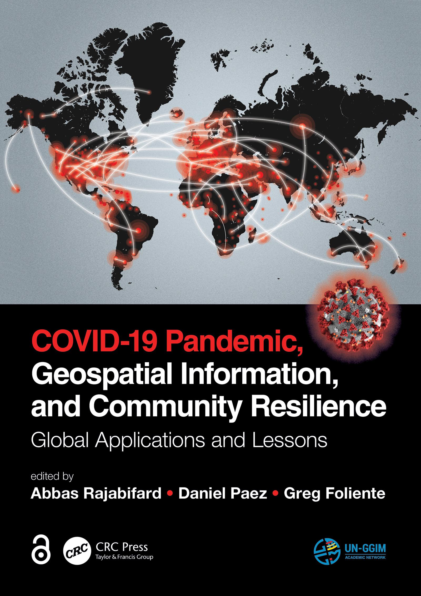
Geospatial information plays an important role in managing location dependent pandemic situations across different communities and domains. Geospatial information and technologies are particularly critical to strengthening urban and rural resilience, where economic, agricultural, and various social sectors all intersect. Examining the United Nations' SDGs from a geospatial lens will ensure that the challenges are addressed for all populations in different locations. This book, with worldwide contributions focused on COVID-19 pandemic, provides interdisciplinary analysis and multi-sectoral expertise on the use of geospatial information and location intelligence to support community resilience and authorities to manage pandemics.
Paga facilmente con carta, Klarna, Apple Pay o Google Pay. Non sei soddisfatto? Hai sempre 14 giorni per il rimborso. Leggi di più nei nostri termini. Per qualsiasi domanda, scrivici a hello@memmo.org.
Memmo rende lo studio più facile, ovunque tu sia nel mondo. Qui trovi i tuoi libri di testo e strumenti di studio intelligenti, tutto in un unico posto: riassunti, quiz, podcast e flashcard. E poi c'è Ted, il tuo compagno di studio che risponde a ogni tua domanda. Oltre 50.000 studenti studiano già qui: è stato creato per aiutarti a imparare più velocemente e a stressarti meno.