
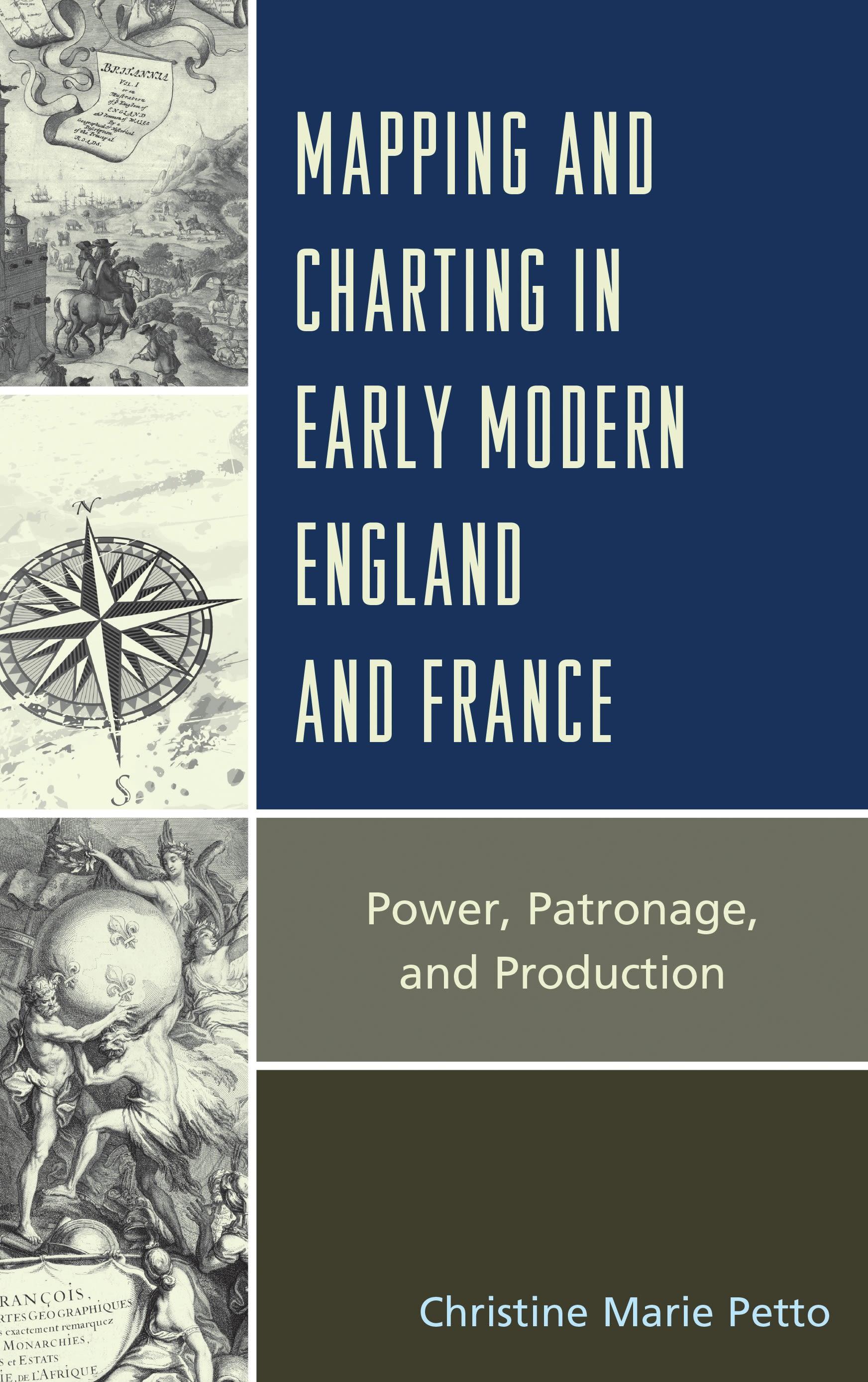
Mapping and Charting for the Lion and the Lily: Map and Atlas Production in Early Modern England and France is a comparative study of the production and role of maps, charts, and atlases in early modern England and France, with a particular focus on Paris, the cartographic center of production from the late seventeenth century to the late eighteenth century, and London, which began to emerge (in the late eighteenth century) to eclipse the once favored Bourbon center. The themes that carry through the work address the role of government in map and chart making. In France, in particular, it is the importance of the centralized government and its support for geographic works and their makers through a broad and deep institutional infrastructure. Prior to the late eighteenth century in England, there was no central controlling agency or institution for map, chart, or atlas production, and any official power was imposed through the market rather than through the establishment of institutions. There was no centralized support for the cartographic enterprise and any effort by the crown was often challenged by the power of Parliament which saw little value in fostering or supporting scholar-geographers or a national survey.
This book begins with an investigation of the imagery of power on map and atlas frontispieces from the late sixteenth century to the seventeenth century. In the succeeding chapters the focus moves from county and regional mapping efforts in England and France to the “paper wars” over encroachment in their respective colonial interests. The final study looks at charting efforts and highlights the role of government support and the commercial trade in the development of maritime charts not only for the home waters of the English Channel, but the distant and dangerous seas of the East Indies.
This book begins with an investigation of the imagery of power on map and atlas frontispieces from the late sixteenth century to the seventeenth century. In the succeeding chapters the focus moves from county and regional mapping efforts in England and France to the “paper wars” over encroachment in their respective colonial interests. The final study looks at charting efforts and highlights the role of government support and the commercial trade in the development of maritime charts not only for the home waters of the English Channel, but the distant and dangerous seas of the East Indies.
Paga facilmente con carta, Klarna, Apple Pay o Google Pay. Non sei soddisfatto? Hai sempre 14 giorni per il rimborso. Leggi di più nei nostri termini. Per qualsiasi domanda, scrivici a hello@memmo.org.
Memmo rende lo studio più facile, ovunque tu sia nel mondo. Qui trovi i tuoi libri di testo e strumenti di studio intelligenti, tutto in un unico posto: riassunti, quiz, podcast e flashcard. E poi c'è Ted, il tuo compagno di studio che risponde a ogni tua domanda. Oltre 50.000 studenti studiano già qui: è stato creato per aiutarti a imparare più velocemente e a stressarti meno.