
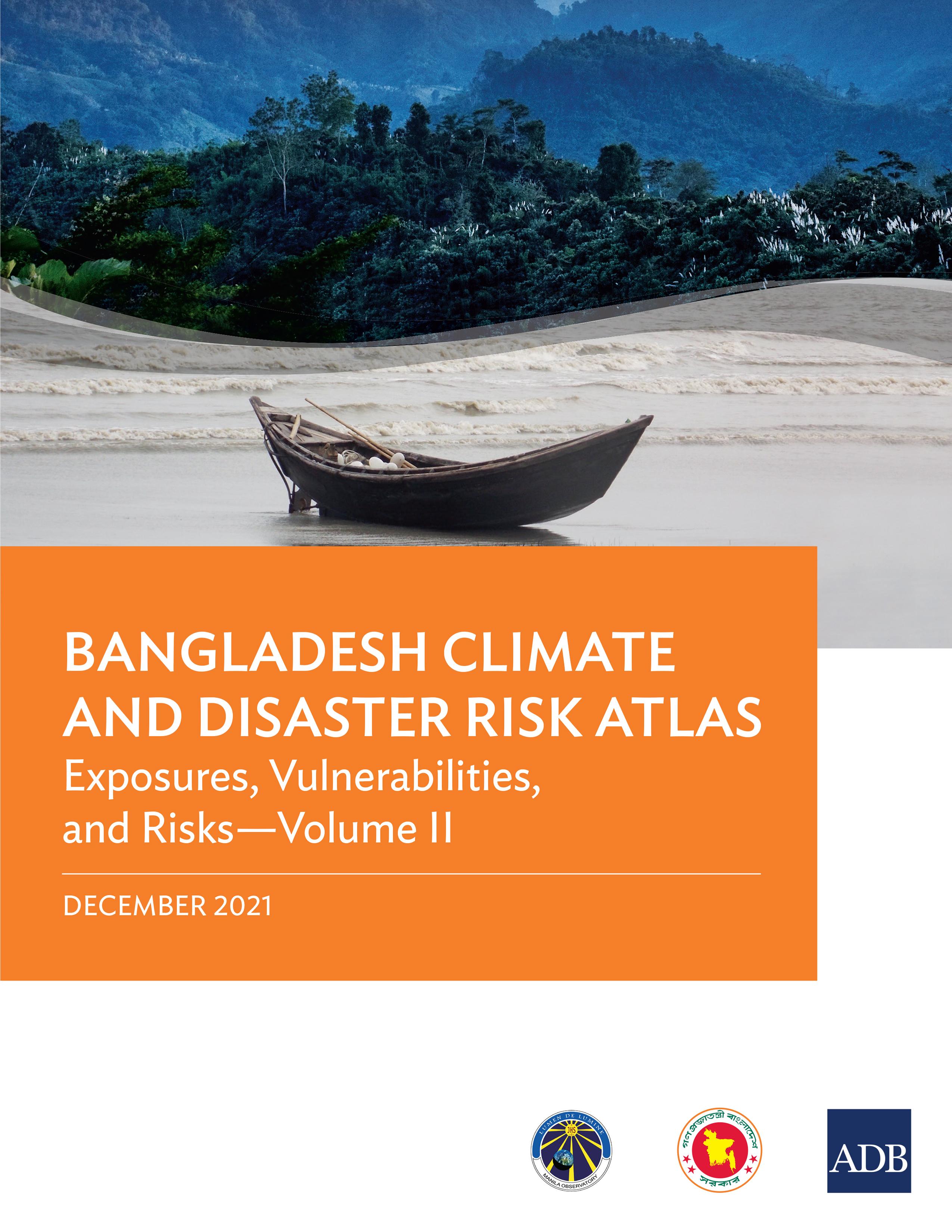
This atlas provides spatial information about Bangladesh and thematic maps necessary for assessing future development investments in the agriculture and water sectors for climate risks and geophysical hazards. It is also intended to support the formulation of co-beneficial options for climate change adaptation and disaster risk reduction and management. The two-volume atlas is a major output of the project Establishing a Climate Risk Screening System for Mainstreaming Climate Change Adaptation into National Development Budgeting Activities in Bangladesh under the Asian Development Bank’s regional knowledge and support (capacity development) technical assistance Action on Climate Change in South Asia (2013–2018). The Bangladesh Climate and Disaster Risk Atlas is composed of Hazards—Volume I and Exposures, Vulnerabilities, and Risks—Volume II.
Betal nemt med kort, Klarna, Apple Pay eller Google Pay. Ikke tilfreds? Du har altid 14 dages fortrydelsesret. Læs mere i vores vilkår. Har du spørgsmål, så send os en mail på hello@memmo.org.
Memmo gør det nemmere at studere – uanset hvor du er i verden. Hos os samler du dine kursusbøger og smarte studieværktøjer ét sted: resuméer, quizzer, podcasts og flashcards. Og så er der Ted, din studieven, der svarer på alt, du undrer dig over. Over 50 000 studerende studerer allerede her – bygget til at hjælpe dig med at lære hurtigere og stresse mindre.
Du kan måske også lide
Køb bogen0