
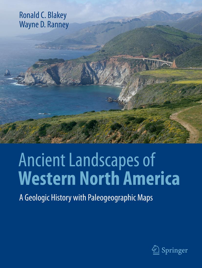
Allow yourself to be taken back into deep geologic time when strange creatures roamed the Earth and Western North America looked completely unlike the modern landscape. Volcanic islands stretched from Mexico to Alaska, most of the Pacific Rim didn’t exist yet, at least not as widespread dry land; terranes drifted from across the Pacific to dock on Western Americas’ shores creating mountains and more volcanic activity. Landscapes were transposed north or south by thousands of kilometers along huge fault systems. Follow these events through paleogeographic maps that look like satellite views of ancient Earth. Accompanying text takes the reader into the science behind these maps and the geologic history that they portray. The maps and text unfold the complex geologic history of the region as never seen before.
Winner of the 2021 John D. Haun Landmark Publication Award, AAPG-Rocky Mountain Section
Betal nemt med kort, Klarna, Apple Pay eller Google Pay. Ikke tilfreds? Du har altid 14 dages fortrydelsesret. Læs mere i vores vilkår. Har du spørgsmål, så send os en mail på hello@memmo.org.
Memmo gør det nemmere at studere – uanset hvor du er i verden. Hos os samler du dine kursusbøger og smarte studieværktøjer ét sted: resuméer, quizzer, podcasts og flashcards. Og så er der Ted, din studieven, der svarer på alt, du undrer dig over. Over 50 000 studerende studerer allerede her – bygget til at hjælpe dig med at lære hurtigere og stresse mindre.