
“GeoAI—the integration of spatial analysis, AI, and big data—is creating new insights that promise to transform our understanding of the world.”
Jack Dangermond, president of Esri
Discover how organizations are powering greater automation, prediction, and optimization with GeoAI.
Organizations across the globe have long relied on geographic information system (GIS) technology to manage and analyze data through the powerful lens of location, helping them tackle some of the toughest business and societal challenges. The emergence of AI-enhanced GIS has opened new opportunities to these groups to automate complex spatial analyses and harness the full breadth of spatial analysis. This democratization of GIS can help everyone make better decisions faster, from city planners and policymakers to businesses, research groups, and constituents.
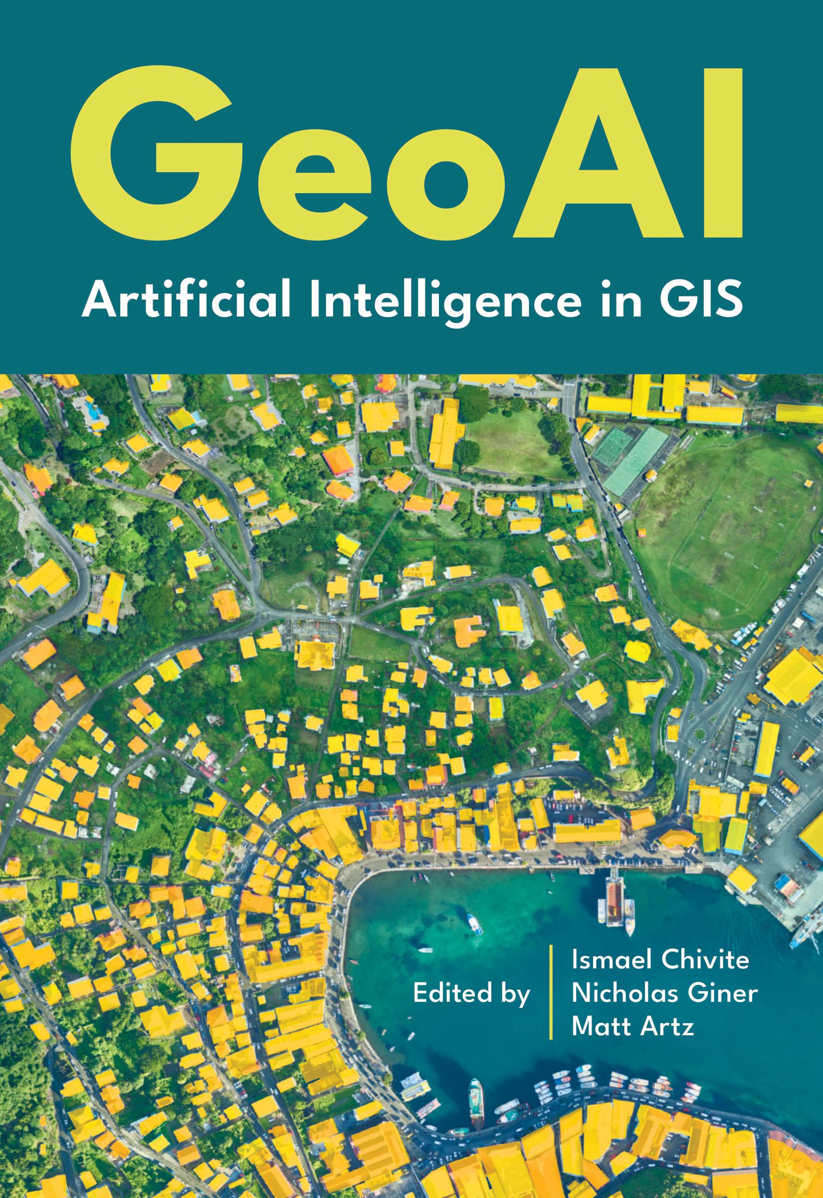
GeoAI: Artificial Intelligence in GIS explores a collection of real-life stories about public- and private-sector organizations as well as NGOs and nonprofits successfully using GeoAI and ArcGIS® to manage processes, workflows, policies, and communication. The book also includes a technology overview that provides ideas, strategies, tools, and actions to help jump-start your own use of GeoAI.
Betal nemt med kort, Klarna, Apple Pay eller Google Pay. Ikke tilfreds? Du har altid 14 dages fortrydelsesret. Læs mere i vores vilkår. Har du spørgsmål, så send os en mail på hello@memmo.org.
Memmo gør det nemmere at studere – uanset hvor du er i verden. Hos os samler du dine kursusbøger og smarte studieværktøjer ét sted: resuméer, quizzer, podcasts og flashcards. Og så er der Ted, din studieven, der svarer på alt, du undrer dig over. Over 50 000 studerende studerer allerede her – bygget til at hjælpe dig med at lære hurtigere og stresse mindre.