
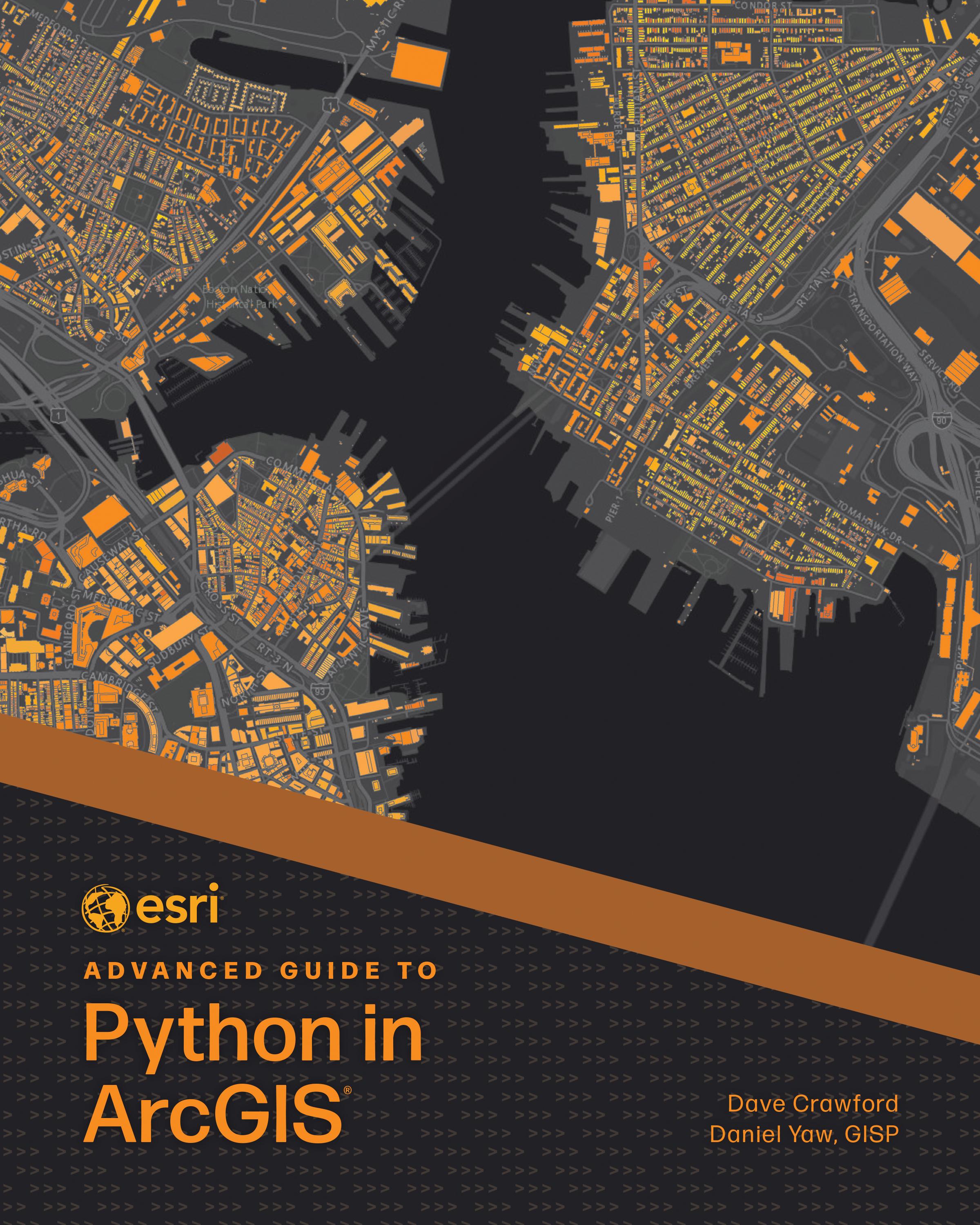
Solving complex geospatial problems and delivering solutions has never been easier.
Ready to take your Python knowledge to the next level? Esri Advanced Guide to Python in ArcGIS guides working GIS professionals through integrating Python with ArcGIS capabilities with increasing complexity through each consecutive chapter. Every chapter includes a project that teaches technical skills and problem-solving applicable to practical, job-focused assignments, including understanding client needs, performing market analytics, and managing ArcGIS Online organizations.
Esri Advanced Guide to Python in ArcGIS uses step-by-step tutorials with an informal, conversational style of writing so you can easily follow and immediately apply the skills explained. Topics include:
- Designing effective GIS Python solutions
- ArcPy and ArcGIS API for Python basics
- Using imagery and GeoAI for advanced analysis
- Object-oriented programming
- Delivering work in various formats: Python scripts, Jupyter Notebook, ArcGIS Pro tools, geoprocessing services, and web applications
- Data engineering and manipulation techniques
- Managing ArcGIS Enterprise, ArcGIS Online, and other portal administration
Perfect for intermediate to advanced programmers looking to enhance their GIS capabilities, Esri Advanced Guide to Python in ArcGIS will quickly help you become skilled at using Python for geospatial solutions and become more proficient and capable in your work.
Betal nemt med kort, Klarna, Apple Pay eller Google Pay. Ikke tilfreds? Du har altid 14 dages fortrydelsesret. Læs mere i vores vilkår. Har du spørgsmål, så send os en mail på hello@memmo.org.
Memmo gør det nemmere at studere – uanset hvor du er i verden. Hos os samler du dine kursusbøger og smarte studieværktøjer ét sted: resuméer, quizzer, podcasts og flashcards. Og så er der Ted, din studieven, der svarer på alt, du undrer dig over. Over 50 000 studerende studerer allerede her – bygget til at hjælpe dig med at lære hurtigere og stresse mindre.