
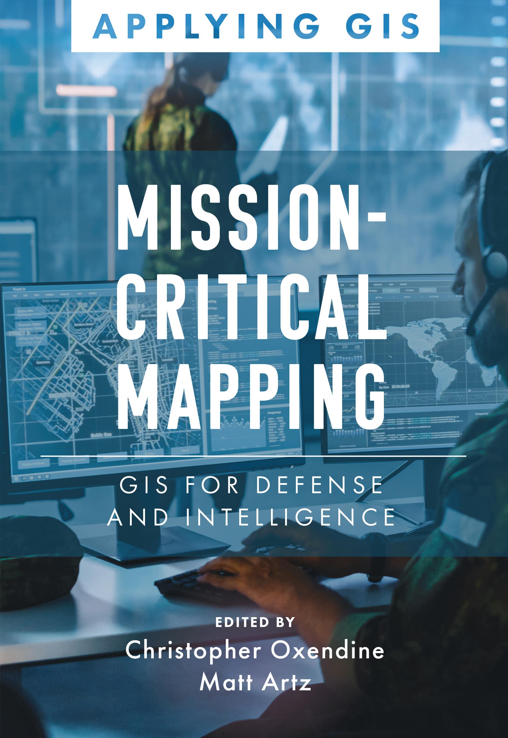
Discover a geographic approach to defense and intelligence.
Mission-Critical Mapping: GIS for Defense and Intelligence explores a collection of real-life stories about defense and intelligence organizations successfully using GIS to manage their high-stakes work.
Defense organizations use ArcGIS to enable joint all-domain operations and provide data integration, analytics, and a decision support framework for all defense functions. GIS infrastructure allows data to flow seamlessly from headquarters to the tactical edge. This data integration, analytics, and decision support framework supports the following in a dynamic information environment:
- Joint all-domain operations
- Data analysis and visualization
- Knowledge management
- Improved decision-making
Mission-Critical Mapping: GIS for Defense and Intelligence shares examples of organizations effectively using GIS to improve defense operations and readiness, intelligence collection and collaboration, and humanitarian assistance. The book also includes a section on next steps that provides ideas, strategies, tools, and actions to help jump-start your own use of GIS for defense and intelligence applications. A collection of online resources, including additional stories, videos, new ideas and concepts, and downloadable tools and content, complements this book.
Betal nemt med kort, Klarna, Apple Pay eller Google Pay. Ikke tilfreds? Du har altid 14 dages fortrydelsesret. Læs mere i vores vilkår. Har du spørgsmål, så send os en mail på hello@memmo.org.
Memmo gør det nemmere at studere – uanset hvor du er i verden. Hos os samler du dine kursusbøger og smarte studieværktøjer ét sted: resuméer, quizzer, podcasts og flashcards. Og så er der Ted, din studieven, der svarer på alt, du undrer dig over. Over 50 000 studerende studerer allerede her – bygget til at hjælpe dig med at lære hurtigere og stresse mindre.