
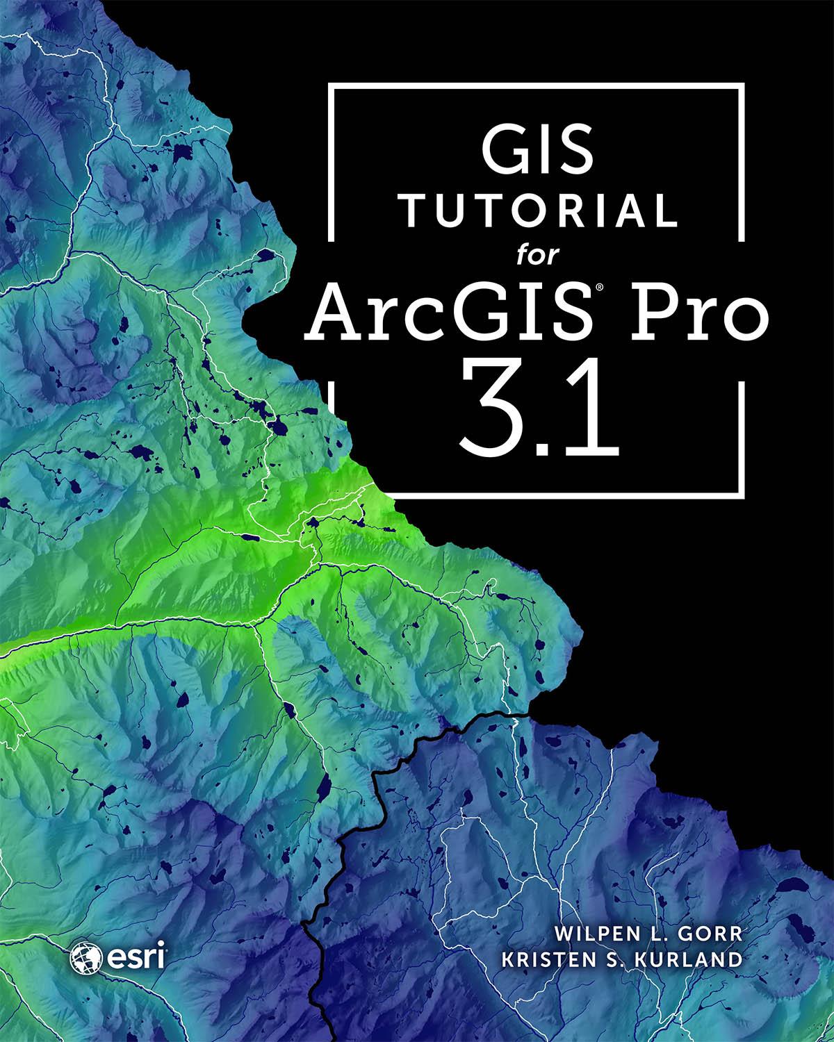
This classic ArcGIS® exercise book has been revised and streamlined to help you learn the latest ArcGIS Pro tools and workflows.
GIS Tutorial for ArcGIS Pro 3.1 is the book of choice for classrooms and self-learners seeking to develop their expertise with Esri’s premier desktop geographic information system (GIS) technology—no prior experience is necessary.
This fifth edition, revised for ArcGIS Pro 3.1, features new datasets, exercises, and instructional text guiding you step by step through the latest tools and workflows. The book explains core skills through progressive learning, and its examples use current, real-world scenarios as you learn to make maps and find, create, and analyze spatial data while using ArcGIS Pro and ArcGIS Online.
You will also:
- share your work in ArcGIS StoryMaps℠ and visualize your data in ArcGIS Dashboards
- create simple expressions in SQL and Python
- learn how to use street networks for routing
- learn how to analyze satellite imagery to provide intelligence
- learn to turn maps into animations
Both authors, Carnegie Mellon educators Kristen Kurland and Wil Gorr, integrate methods from their own teaching experiences into this book and their other books from Esri Press, including the GIS Tutorial 1–3 series, GIS Tutorial for Crime Analysis, and GIS Tutorial for Health. Downloadable video lectures and teaching slides that complement this book are also available.
Betal nemt med kort, Klarna, Apple Pay eller Google Pay. Ikke tilfreds? Du har altid 14 dages fortrydelsesret. Læs mere i vores vilkår. Har du spørgsmål, så send os en mail på hello@memmo.org.
Memmo gør det nemmere at studere – uanset hvor du er i verden. Hos os samler du dine kursusbøger og smarte studieværktøjer ét sted: resuméer, quizzer, podcasts og flashcards. Og så er der Ted, din studieven, der svarer på alt, du undrer dig over. Over 50 000 studerende studerer allerede her – bygget til at hjælpe dig med at lære hurtigere og stresse mindre.