
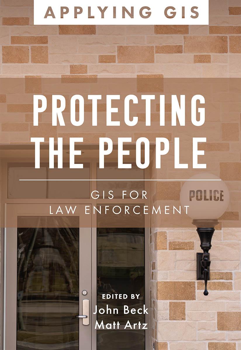
Discover the geographic approach to fighting crime while engaging citizens.
Protecting the People: GIS for Law Enforcement explores a collection of real-life stories about law enforcement agencies successfully using GIS for crime analysis, open policing, and field mobility. Through these stories, this book illustrates how police departments and law enforcement organizations use GIS to enable data-driven crime-analysis strategies and drive decision making in everyday operations.
The case studies in this book cover:
- Understanding data and crime analysis
- Streamlining improvements to police operations
- Developing methods for engaging citizens
The book also includes a section on next steps that provides ideas, strategies, tools, and actions to help jump-start your own use of GIS for law enforcement. A collection of online resources, including additional stories, videos, new ideas and concepts, and downloadable tools and content, complements this book.
Learn how location intelligence and the geographic approach can improve crime analysis, streamline operations, and promote community policing initiatives.
Betal nemt med kort, Klarna, Apple Pay eller Google Pay. Ikke tilfreds? Du har altid 14 dages fortrydelsesret. Læs mere i vores vilkår. Har du spørgsmål, så send os en mail på hello@memmo.org.
Memmo gør det nemmere at studere – uanset hvor du er i verden. Hos os samler du dine kursusbøger og smarte studieværktøjer ét sted: resuméer, quizzer, podcasts og flashcards. Og så er der Ted, din studieven, der svarer på alt, du undrer dig over. Over 50 000 studerende studerer allerede her – bygget til at hjælpe dig med at lære hurtigere og stresse mindre.