
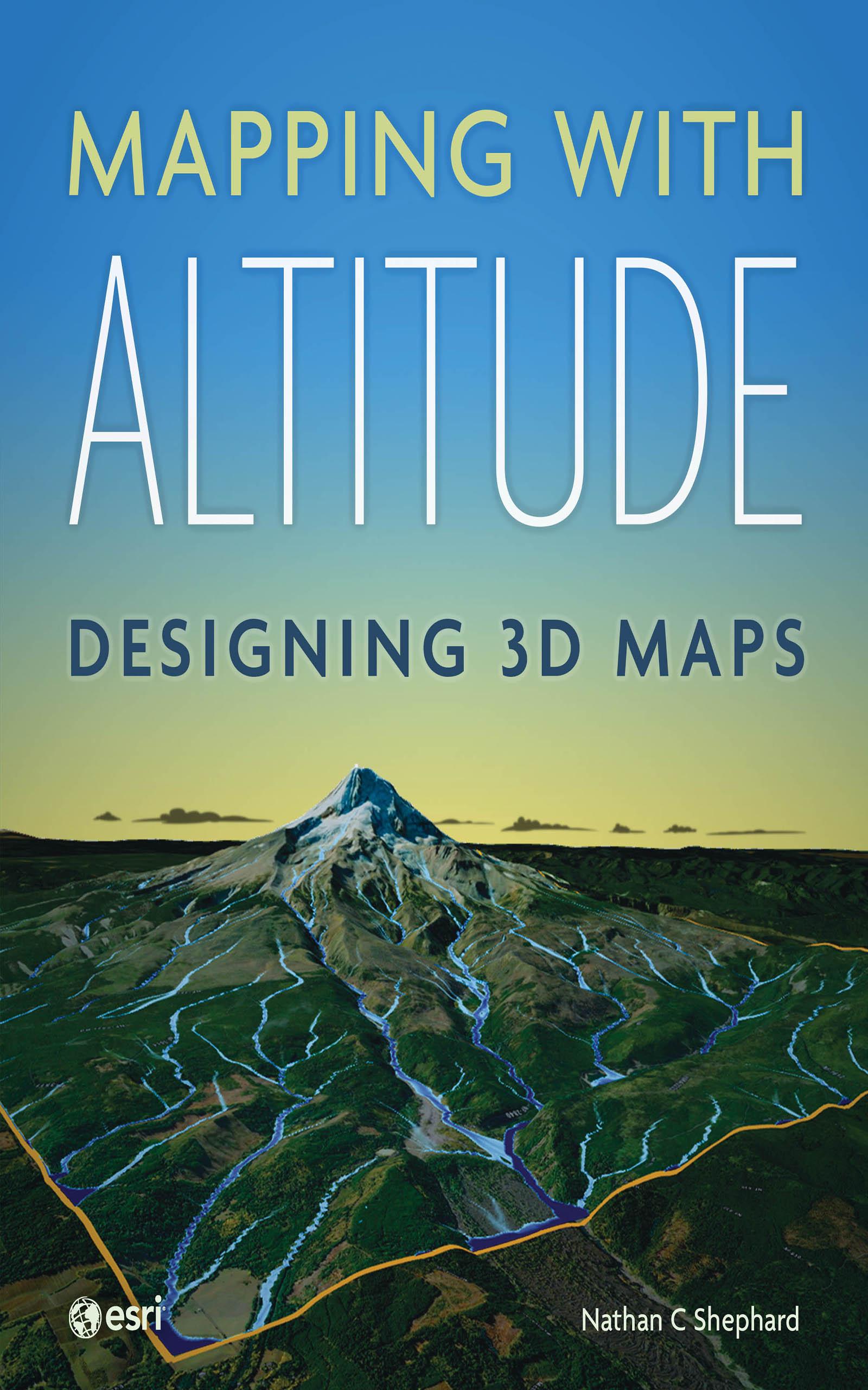
Add an extra dimension to your maps.
You live in a 3D world—your maps need to be 3D, too. Representing and reviewing data on maps in 3D lets you explore complex spatial relationships in new ways, allowing you to identify patterns and potential problems more effectively. But creating digital 3D maps that are accurate, intuitive, engaging, and easily navigable can seem daunting, even to experienced cartographers.
Mapping with Altitude: Designing 3D Maps helps you create clear, compelling cartographic representations in 3D that are both eye-catching and informative. Written by Esri senior product engineer and frequent Esri UC workshop presenter Nathan C Shephard, this book uses a fun and enthusiastic approach to explore the concepts, challenges, and opportunities in 3D cartography.
Using easy-to-understand workflows, this book:
- Shows
why some spatial content is best communicated in 3D.
Explains 3D mapping concepts, such as surfaces, base heights, texturing, and lighting models.
Introduces new twists on well-defined 2D cartographic principles, such as size, color, and text.
Demonstrates how the z-dimension can convey time.
Discusses the best delivery mechanism for your 3D content.
Mapping with Altitude focuses on the practical decisions and specific techniques you’ll use as you boldly enter the world of 3D map authoring in ArcGIS.
Betal nemt med kort, Klarna, Apple Pay eller Google Pay. Ikke tilfreds? Du har altid 14 dages fortrydelsesret. Læs mere i vores vilkår. Har du spørgsmål, så send os en mail på hello@memmo.org.
Memmo gør det nemmere at studere – uanset hvor du er i verden. Hos os samler du dine kursusbøger og smarte studieværktøjer ét sted: resuméer, quizzer, podcasts og flashcards. Og så er der Ted, din studieven, der svarer på alt, du undrer dig over. Over 50 000 studerende studerer allerede her – bygget til at hjælpe dig med at lære hurtigere og stresse mindre.