
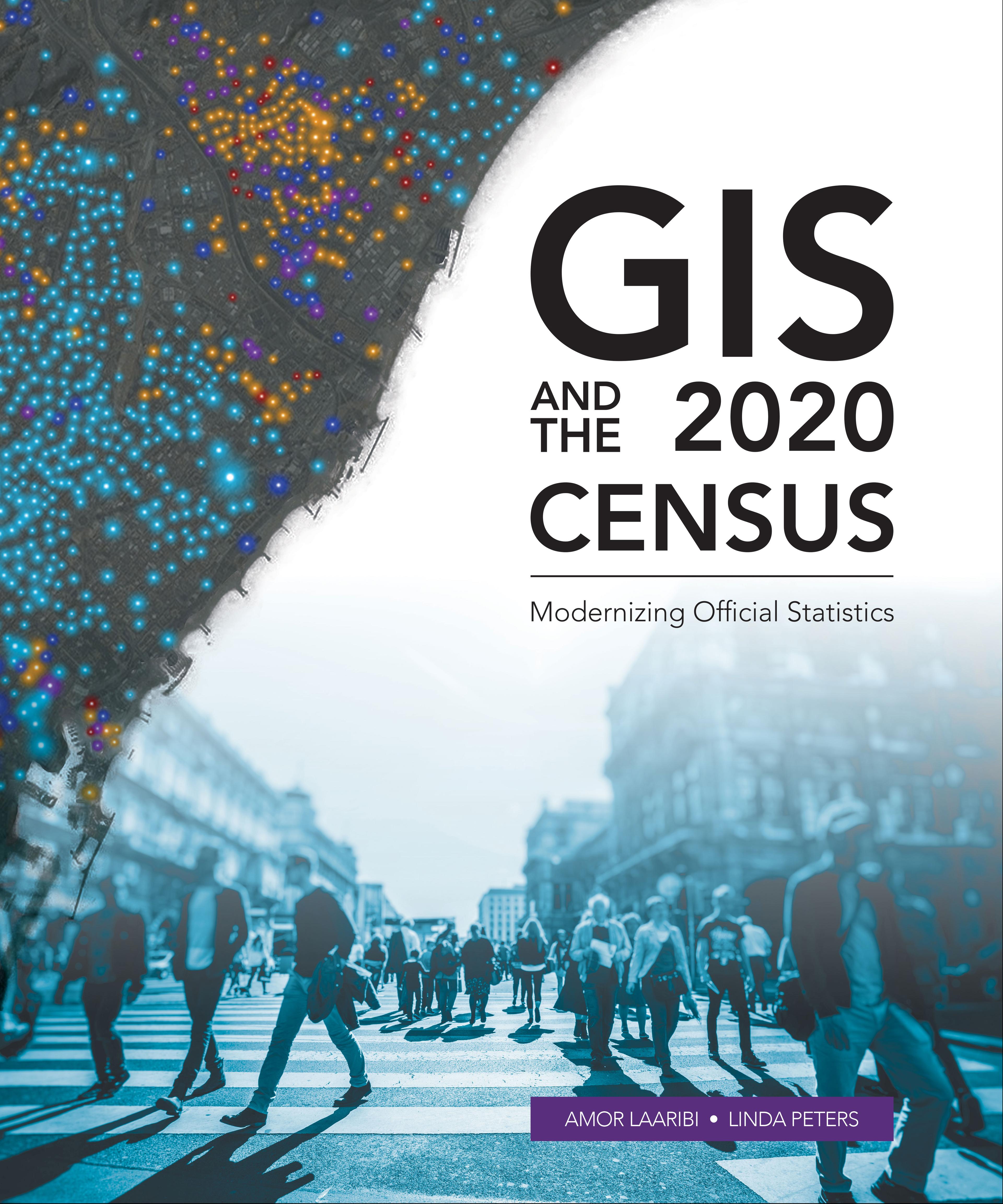
Census workers need to capture and analyze information at the finest geographic level with mobile and geospatial-based technology.
GIS and the 2020 Census: Modernizing Official Statistics guides statistical organizations with the most recent GIS methodologies and technological tools to support census workers’ needs at all the stages of a census. Learn how to plan and carry out census work with GIS using new technologies for field data collection and operations management. After planning and collecting data, apply innovative solutions for performing statistical analysis, data integration and dissemination. Additional topics cover cloud computing, big data, location as a Service (LaaS), and emerging data sources.
While GIS and the 2020 Census focuses on using GIS and other geospatial technology in support of census planning and operations, it also offers guidelines for building a statistical-geospatial information infrastructure in support of the 2020 Round of Censuses, evidence-based decision-making, and sustainable development. Case studies illustrate concepts in practice.
Betal nemt med kort, Klarna, Apple Pay eller Google Pay. Ikke tilfreds? Du har altid 14 dages fortrydelsesret. Læs mere i vores vilkår. Har du spørgsmål, så send os en mail på hello@memmo.org.
Memmo gør det nemmere at studere – uanset hvor du er i verden. Hos os samler du dine kursusbøger og smarte studieværktøjer ét sted: resuméer, quizzer, podcasts og flashcards. Og så er der Ted, din studieven, der svarer på alt, du undrer dig over. Over 50 000 studerende studerer allerede her – bygget til at hjælpe dig med at lære hurtigere og stresse mindre.