
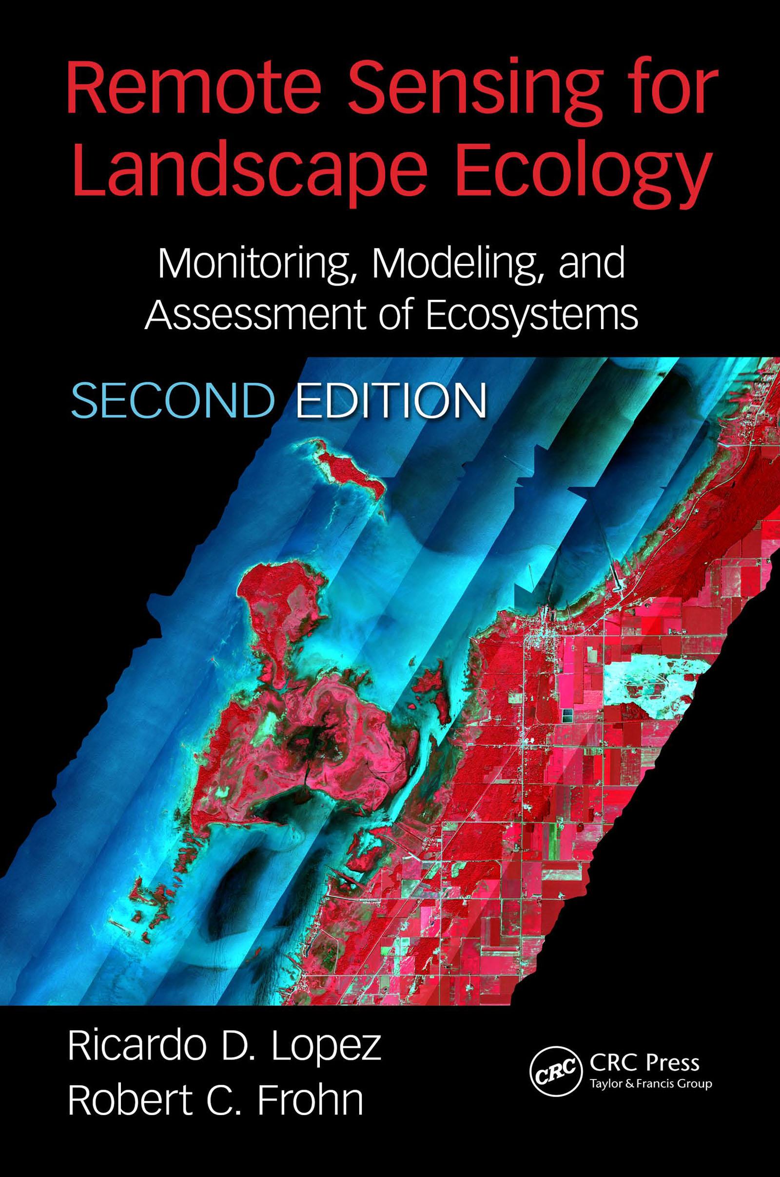
This book provides the practical basis for the use of remote sensing to accomplish landscape ecological projects, through the merging of theory and practice, with examples. This is a specialized application and both these topics have evolved rapidly in the past decade. This evolution is not in the previous edition, and indeed this update provides much new information and valuable ideas for the professional and assist in directing the training of new personnel. The new edition will feature a combination of landscape ecology metrics, quantitative field measurements, and geospatial analyses.
Betal nemt med kort, Klarna, Apple Pay eller Google Pay. Ikke tilfreds? Du har altid 14 dages fortrydelsesret. Læs mere i vores vilkår. Har du spørgsmål, så send os en mail på hello@memmo.org.
Memmo gør det nemmere at studere – uanset hvor du er i verden. Hos os samler du dine kursusbøger og smarte studieværktøjer ét sted: resuméer, quizzer, podcasts og flashcards. Og så er der Ted, din studieven, der svarer på alt, du undrer dig over. Over 50 000 studerende studerer allerede her – bygget til at hjælpe dig med at lære hurtigere og stresse mindre.