
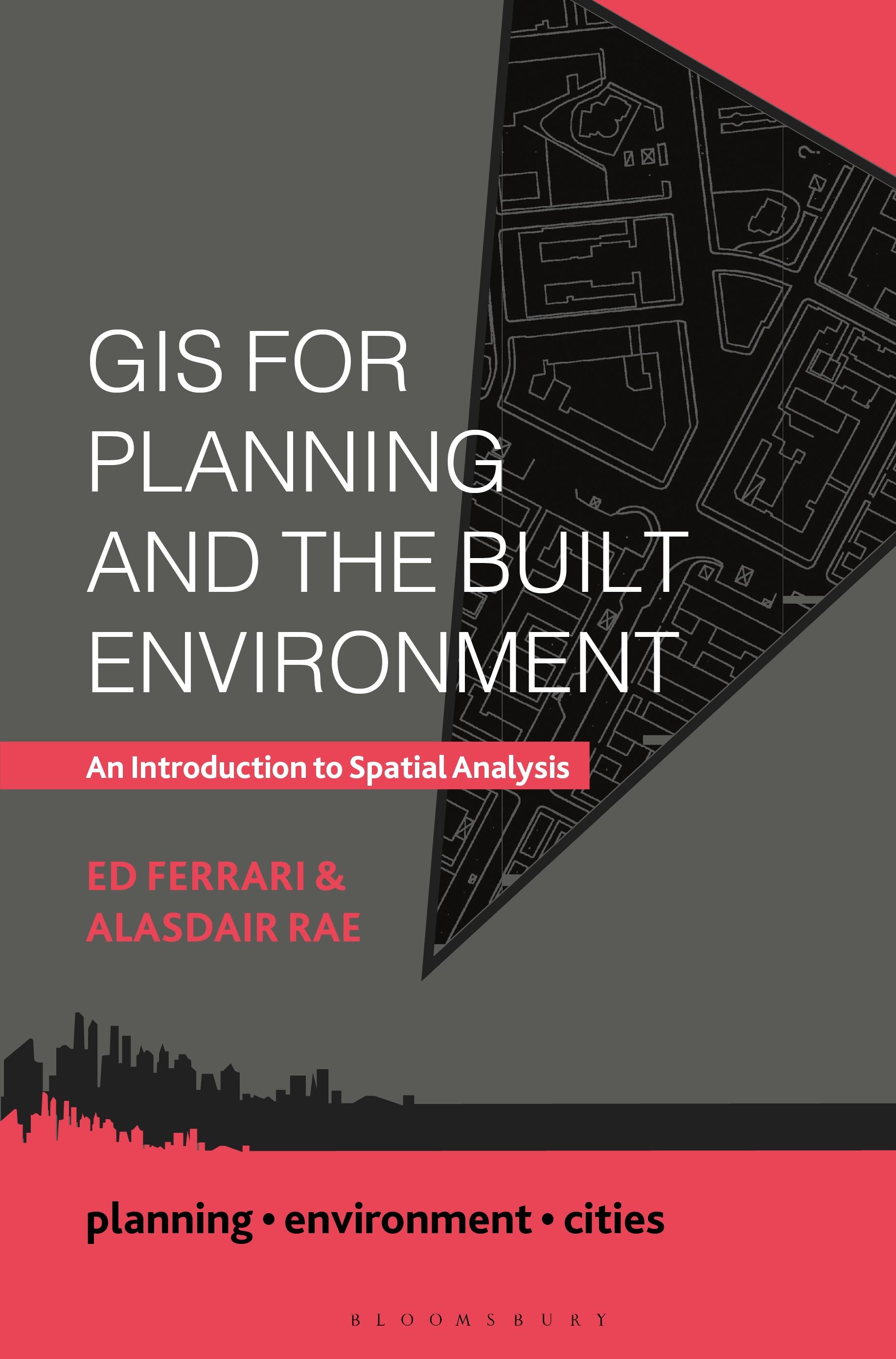
This engaging and practical guide is a much-needed new textbook that illustrates the power of geographic information systems (GIS) and spatial analysis. Today's planner has a wealth of data available to them, much of which is increasingly linked to a specific location. From football clubs to Twitter conversations, government spending to the spread of diseases – data can be mapped. Once mapped, the data begins to tell stories, patterns are revealed, and effective planning decisions can be made. When used effectively, GIS allows students, planners, residents and policymakers to solve wicked problems in the environment, society and the economy.
Geospatial data is now more freely available than it ever has been, as is much of the necessary software to analyse it. This contemporary text offers a practical guide to spatial analysis and what it can show us. In addition to explaining what GIS is and why it is such a powerful tool, the authors cover such topics as geovisualization, mapping principles, network analysis and decision making. Offering more than just theoretical or technical principles and concepts, the book applies GIS techniques to the real world, draws on global examples and provides practical advice on mapping the built environment.
This accessible text is essential reading for undergraduate and postgraduate students taking planning modules on GIS, data analysis and mapping, as well as for all planners, urbanists and geographers with an interest in how GIS can help us better understand the built environment from a socio-economic perspective.
Geospatial data is now more freely available than it ever has been, as is much of the necessary software to analyse it. This contemporary text offers a practical guide to spatial analysis and what it can show us. In addition to explaining what GIS is and why it is such a powerful tool, the authors cover such topics as geovisualization, mapping principles, network analysis and decision making. Offering more than just theoretical or technical principles and concepts, the book applies GIS techniques to the real world, draws on global examples and provides practical advice on mapping the built environment.
This accessible text is essential reading for undergraduate and postgraduate students taking planning modules on GIS, data analysis and mapping, as well as for all planners, urbanists and geographers with an interest in how GIS can help us better understand the built environment from a socio-economic perspective.
Betal nemt med kort, Klarna, Apple Pay eller Google Pay. Ikke tilfreds? Du har altid 14 dages fortrydelsesret. Læs mere i vores vilkår. Har du spørgsmål, så send os en mail på hello@memmo.org.
Memmo gør det nemmere at studere – uanset hvor du er i verden. Hos os samler du dine kursusbøger og smarte studieværktøjer ét sted: resuméer, quizzer, podcasts og flashcards. Og så er der Ted, din studieven, der svarer på alt, du undrer dig over. Over 50 000 studerende studerer allerede her – bygget til at hjælpe dig med at lære hurtigere og stresse mindre.