
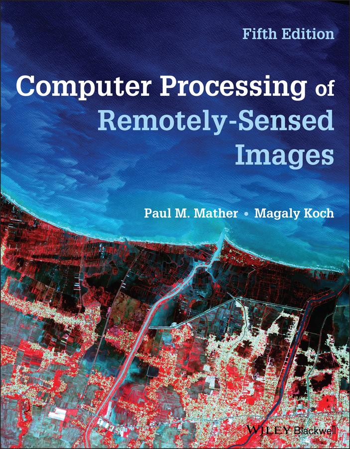
A thorough introduction to computer processing of remotely-sensed images, processing methods, and applications
Remote sensing is a crucial form of measurement that allows for the gauging of an object or space without direct physical contact, allowing for the assessment and recording of a target under conditions which would normally render access difficult or impossible. This is done through the analysis and interpretation of electromagnetic radiation (EMR) that is reflected or emitted by an object, surveyed and recorded by an observer or instrument that is not in contact with the target. This methodology is particularly of importance in Earth observation by remote sensing, wherein airborne or satellite-borne instruments of EMR provide data on the planet’s land, seas, ice, and atmosphere. This permits scientists to establish relationships between the measurements and the nature and distribution of phenomena on the Earth’s surface or within the atmosphere.
Still relying on a visual and conceptual approach to the material, the fifth edition of this successful textbook provides students with methods of computer processing of remotely sensed data and introduces them to environmental applications which make use of remotely-sensed images. The new edition’s content has been rearranged to be more clearly focused on image processing methods and applications in remote sensing with new examples, including material on the Copernicus missions, microsatellites and recently launched SAR satellites, as well as time series analysis methods.
The fifth edition of Computer Processing of Remotely-Sensed Images also contains:
- A cohesive presentation of the fundamental components of Earth observation remote sensing that is easy to understand and highly digestible
- Largely non-technical language providing insights into more advanced topics that may be too difficult for a non-mathematician to understand
- Illustrations and example boxes throughout the book to illustrate concepts, as well as revised examples that reflect the latest information
- References and links to the most up-to-date online and open access sources used by students
Computer Processing of Remotely-Sensed Images is a highly insightful textbook for advanced undergraduates and postgraduate students taking courses in remote sensing and GIS in Geography, Geology, and Earth & Environmental Science departments.
Betal nemt med kort, Klarna, Apple Pay eller Google Pay. Ikke tilfreds? Du har altid 14 dages fortrydelsesret. Læs mere i vores vilkår. Har du spørgsmål, så send os en mail på hello@memmo.org.
Memmo gør det nemmere at studere – uanset hvor du er i verden. Hos os samler du dine kursusbøger og smarte studieværktøjer ét sted: resuméer, quizzer, podcasts og flashcards. Og så er der Ted, din studieven, der svarer på alt, du undrer dig over. Over 50 000 studerende studerer allerede her – bygget til at hjælpe dig med at lære hurtigere og stresse mindre.