
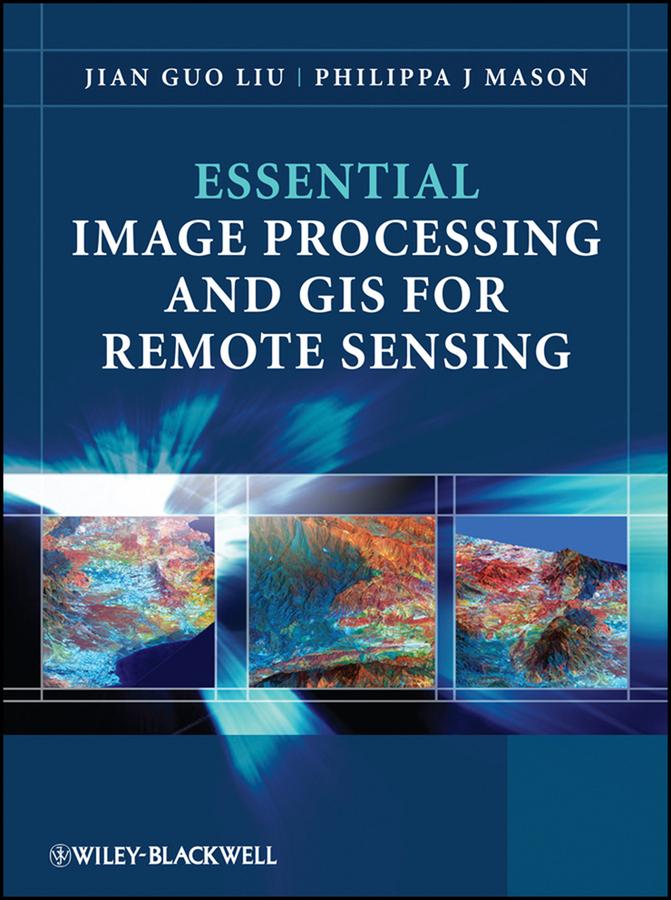
Key concepts and ideas are introduced in a clear and logical manner and described through the provision of numerous relevant conceptual illustrations. Mathematical detail is kept to a minimum and only referred to where necessary for ease of understanding. Such concepts are explained through common sense terms rather than in rigorous mathematical detail when explaining image processing and GIS techniques, to enable students to grasp the essentials of a notoriously challenging subject area.
The book is clearly divided into three parts, with the first part introducing essential image processing techniques for remote sensing. The second part looks at GIS and begins with an overview of the concepts, structures and mechanisms by which GIS operates. Finally the third part introduces Remote Sensing Applications. Throughout the book the relationships between GIS, Image Processing and Remote Sensing are clearly identified to ensure that students are able to apply the various techniques that have been covered appropriately. The latter chapters use numerous relevant case studies to illustrate various remote sensing, image processing and GIS applications in practice.
Betal nemt med kort, Klarna, Apple Pay eller Google Pay. Ikke tilfreds? Du har altid 14 dages fortrydelsesret. Læs mere i vores vilkår. Har du spørgsmål, så send os en mail på hello@memmo.org.
Memmo gør det nemmere at studere – uanset hvor du er i verden. Hos os samler du dine kursusbøger og smarte studieværktøjer ét sted: resuméer, quizzer, podcasts og flashcards. Og så er der Ted, din studieven, der svarer på alt, du undrer dig over. Over 50 000 studerende studerer allerede her – bygget til at hjælpe dig med at lære hurtigere og stresse mindre.