
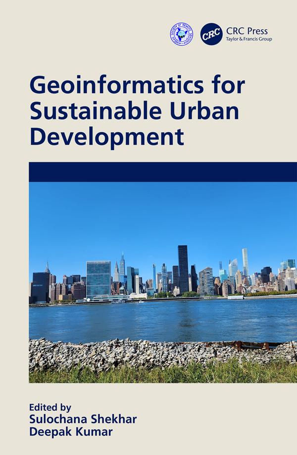
This book provides compelling new insights into how cities are attempting to address sustainability challenges via major applications of geospatial technology in an urban area. It elucidates the role of geospatial techniques such as GIS and GNSS, including remote sensing in urban management, and covers the theory and practice of urban sustainability transitions. It provides case studies and contextualised tools for the governance of urban transitions to present various applications of geospatial techniques in an urban environment.
Features:
- Covers hands-on approaches on quantitative measures of urban analytics
- Focuses on sustainability issues in urban planning and development
- Includes pertinent global case studies for implementation of urban planning practices
- Reviews the inter-relationship between smart cities and sustainable development
This book is aimed at graduate students, researchers, and professionals in GIS, urban sciences, and geography.
Betal nemt med kort, Klarna, Apple Pay eller Google Pay. Ikke tilfreds? Du har altid 14 dages fortrydelsesret. Læs mere i vores vilkår. Har du spørgsmål, så send os en mail på hello@memmo.org.
Memmo gør det nemmere at studere – uanset hvor du er i verden. Hos os samler du dine kursusbøger og smarte studieværktøjer ét sted: resuméer, quizzer, podcasts og flashcards. Og så er der Ted, din studieven, der svarer på alt, du undrer dig over. Over 50 000 studerende studerer allerede her – bygget til at hjælpe dig med at lære hurtigere og stresse mindre.