
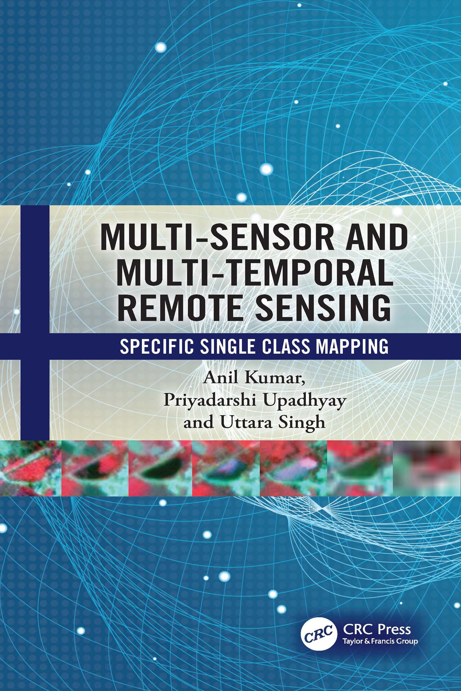
This book elaborates fuzzy machine and deep learning models for single class mapping from multi-sensor, multi-temporal remote sensing images while handling mixed pixels and noise. It also covers the ways of pre-processing and spectral dimensionality reduction of temporal data. Further, it discusses the ‘individual sample as mean’ training approach to handle heterogeneity within a class. The appendix section of the book includes case studies such as mapping crop type, forest species, and stubble burnt paddy fields.
Key features:
- Focuses on use of multi-sensor, multi-temporal data while handling spectral overlap between classes
- Discusses range of fuzzy/deep learning models capable to extract specific single class and separates noise
- Describes pre-processing while using spectral, textural, CBSI indices, and back scatter coefficient/Radar Vegetation Index (RVI)
- Discusses the role of training data to handle the heterogeneity within a class
- Supports multi-sensor and multi-temporal data processing through in-house SMIC software
- Includes case studies and practical applications for single class mapping
This book is intended for graduate/postgraduate students, research scholars, and professionals working in environmental, geography, computer sciences, remote sensing, geoinformatics, forestry, agriculture, post-disaster, urban transition studies, and other related areas.
Betal nemt med kort, Klarna, Apple Pay eller Google Pay. Ikke tilfreds? Du har altid 14 dages fortrydelsesret. Læs mere i vores vilkår. Har du spørgsmål, så send os en mail på hello@memmo.org.
Memmo gør det nemmere at studere – uanset hvor du er i verden. Hos os samler du dine kursusbøger og smarte studieværktøjer ét sted: resuméer, quizzer, podcasts og flashcards. Og så er der Ted, din studieven, der svarer på alt, du undrer dig over. Over 50 000 studerende studerer allerede her – bygget til at hjælpe dig med at lære hurtigere og stresse mindre.