
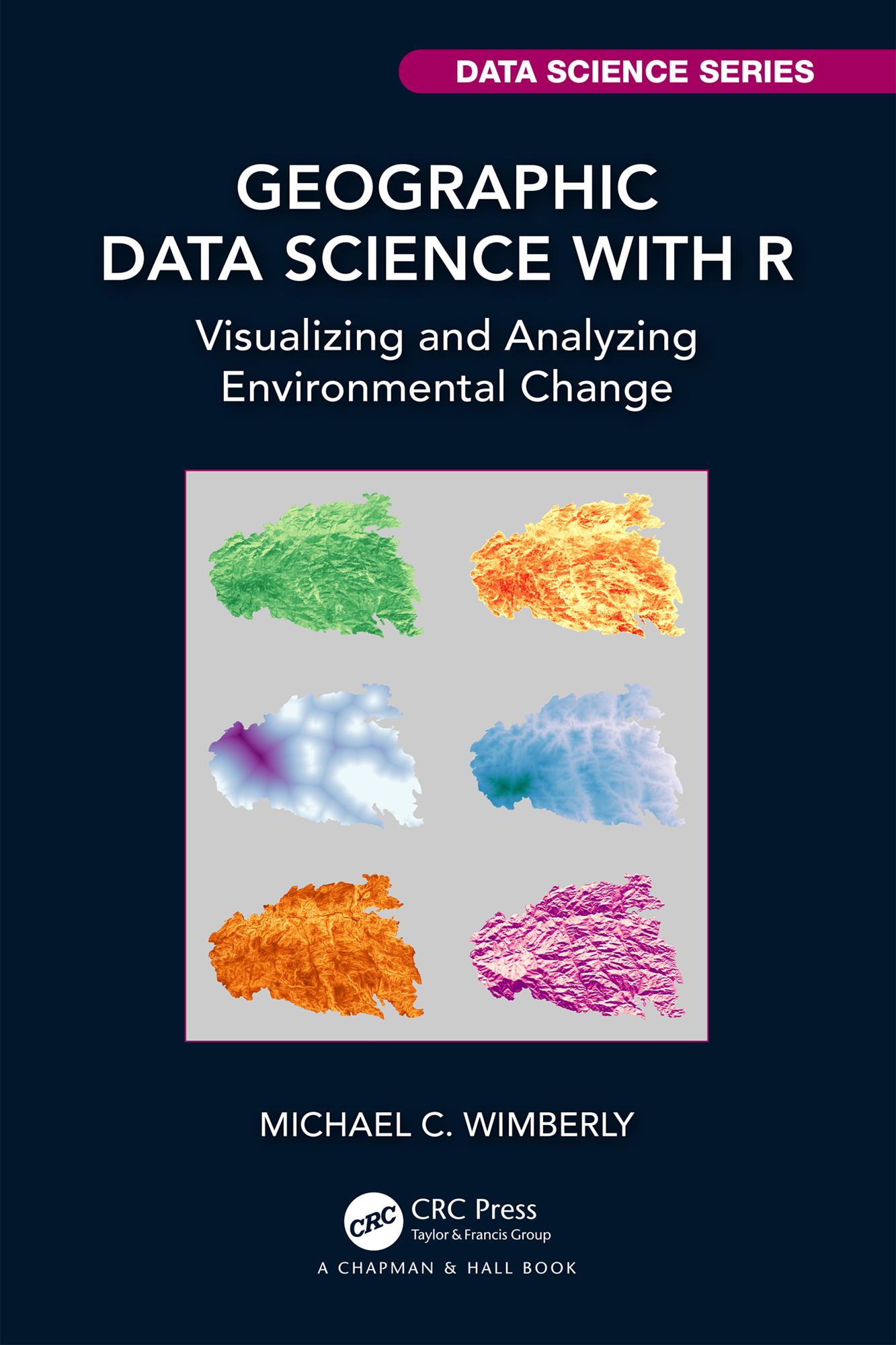
The burgeoning field of data science has provided a wealth of techniques for analysing large and complex geospatial datasets, including descriptive, explanatory, and predictive analytics. However, applying these methods is just one part of the overall process of geographic data science. Other critical steps include screening for suspect data values, handling missing data, harmonizing data from multiple sources, summarizing the data, and visualizing data and analysis results. Although there are many books available on statistical and machine learning methods, few encompass the broader topic of scientific workflows for geospatial data processing and analysis.
The purpose of Geographic Data Science with R is to fill this gap by providing a series of tutorials aimed at teaching good practices for using geospatial data to address problems in environmental geography. It is based on the R language and environment, which currently provides the best option for working with diverse spatial and non-spatial data in a single platform. Fundamental techniques for processing and visualizing tabular, vector, and raster data are introduced through a series of practical examples followed by case studies that combine multiple types of data to address more complex problems.
The book will have a broad audience. Both students and professionals can use it as a workbook to learn high-level techniques for geospatial data processing and analysis with R. It is also suitable as a textbook. Although not intended to provide a comprehensive introduction to R, it is designed to be accessible to readers who have at least some knowledge of coding but little to no experience with R.
Key Features:
- Focus on developing practical workflows for processing and integrating multiple sources of geospatial data in R
- Example-based approach that teaches R programming and data science concepts through real-world applications related to climate, land cover and land use, and natural hazards.
- Consistent use of tidyverse packages for tabular data manipulation and visualization.
- Strong focus on analysing continuous and categorical raster datasets using the new terra package
- Organized so that each chapter builds on the topics and techniques covered in the preceding chapters
- Can be used for self-study or as the textbook for a geospatial science course.
Betal nemt med kort, Klarna, Apple Pay eller Google Pay. Ikke tilfreds? Du har altid 14 dages fortrydelsesret. Læs mere i vores vilkår. Har du spørgsmål, så send os en mail på hello@memmo.org.
Memmo gør det nemmere at studere – uanset hvor du er i verden. Hos os samler du dine kursusbøger og smarte studieværktøjer ét sted: resuméer, quizzer, podcasts og flashcards. Og så er der Ted, din studieven, der svarer på alt, du undrer dig over. Over 50 000 studerende studerer allerede her – bygget til at hjælpe dig med at lære hurtigere og stresse mindre.