
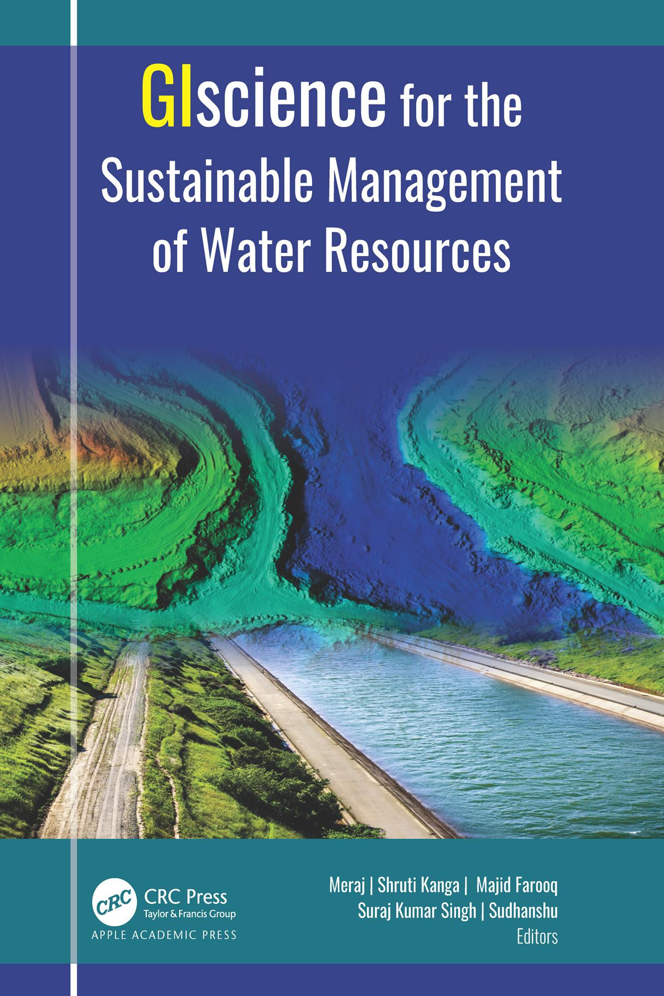
Water is one of the most critical resources of nature that is necessary for sustaining life for all living things. This volume discusses in detail a selection of geospatial approaches, tools, and techniques for understanding the root causes behind the degradation of our water resources.
Satellite remote sensing provides essential data for mapping water resources, hydrology flux measurement, monitoring drought, and flood inundation. With an abundance of informative case studies, this volume discusses the use of the satellite remote sensing and GIS-based systems for managing urban storm water; for flood and soil erosion management; for mapping groundwater zones; for crop production, including measuring soil moisture and aridity; for gauging the impact of climate change; for evaluating glacier change dynamics; for assessing the impact of urban growth on water resources; for measuring the degradation of rivers; and more.
Betal nemt med kort, Klarna, Apple Pay eller Google Pay. Ikke tilfreds? Du har altid 14 dages fortrydelsesret. Læs mere i vores vilkår. Har du spørgsmål, så send os en mail på hello@memmo.org.
Memmo gør det nemmere at studere – uanset hvor du er i verden. Hos os samler du dine kursusbøger og smarte studieværktøjer ét sted: resuméer, quizzer, podcasts og flashcards. Og så er der Ted, din studieven, der svarer på alt, du undrer dig over. Over 50 000 studerende studerer allerede her – bygget til at hjælpe dig med at lære hurtigere og stresse mindre.