
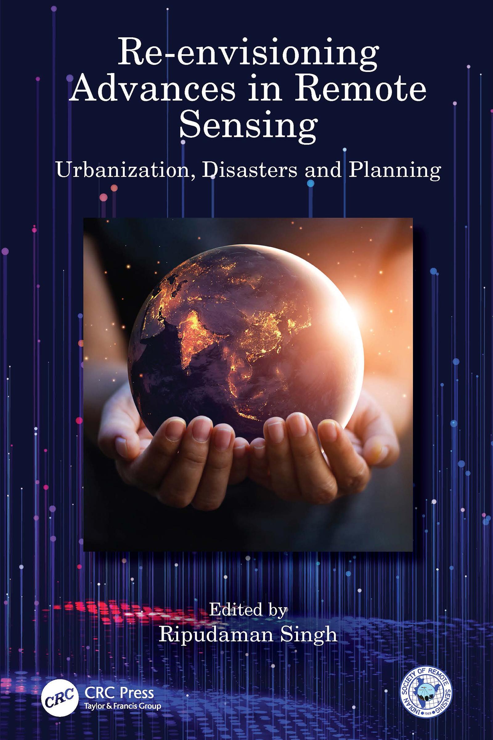
Re-envisioning Advances in Remote Sensing: Urbanization, Disasters and Planning aims at portraying varied advancements in remote sensing applications, particularly in the fields of urbanization, disaster management and regional planning perspectives. The book is organized into three sections of overlapping areas of research covering chief remote sensing applications. Apart from introducing the advances in remote sensing through Indian remote sensing developments, it depicts the broader themes of: urbanization and its impacts; geospatial technology for disaster management; and, remote sensing applications in models and planning. It also provides outlook to future research agenda for remote sensing.
Features:
• Depicts advances in remote sensing in major fields through applications of geospatial technologies.
• Covers remote sensing applications in varied aspects of urbanization, urban problems and disasters.
• Includes advancements in remote sensing in model building and planning perspectives.
• Analyses the usage of smartphones and other digital devices in mapping urban problems and monitoring disaster risks.
• Explores future agenda for remote sensing advances and its ever-widening horizon.
This book would be of interest to all the researchers and graduate students pursuing studies in the fields of remote sensing, GIS, geospatial technologies, urbanizations, disaster management, regional planning, environmental sciences, natural resource management and related fields.
Betal nemt med kort, Klarna, Apple Pay eller Google Pay. Ikke tilfreds? Du har altid 14 dages fortrydelsesret. Læs mere i vores vilkår. Har du spørgsmål, så send os en mail på hello@memmo.org.
Memmo gør det nemmere at studere – uanset hvor du er i verden. Hos os samler du dine kursusbøger og smarte studieværktøjer ét sted: resuméer, quizzer, podcasts og flashcards. Og så er der Ted, din studieven, der svarer på alt, du undrer dig over. Over 50 000 studerende studerer allerede her – bygget til at hjælpe dig med at lære hurtigere og stresse mindre.