
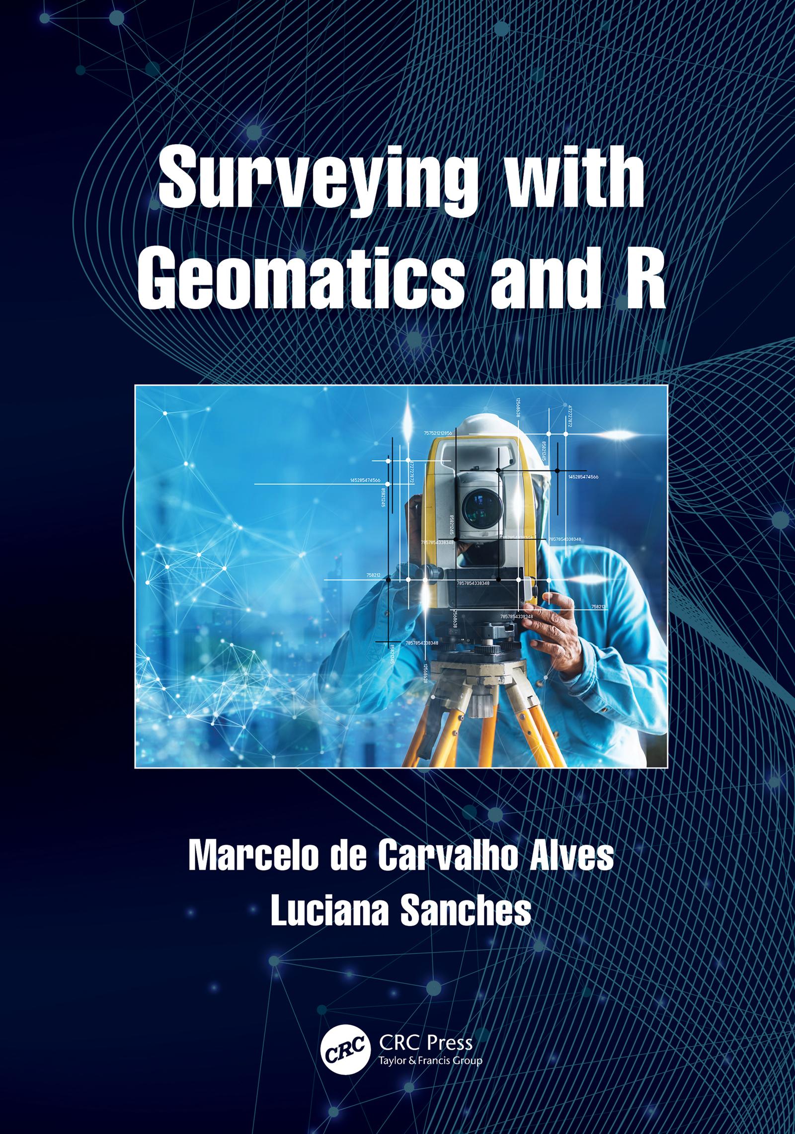
Surveying with Geomatics and R
This book explains basic concepts of surveying science and techniques with geomatics using R software and R packages. It engages students in learning about surveying through real field examples and using differing degrees of complexity while exploring surveying problems based on field observations and advanced geospatial technology. It includes a wide range of case studies as hands-on and self-paced tutorials along with detailed computer programming routines that are linked to the theories and applications explained in each chapter. This innovative textbook also teaches how to explore other possibilities of using geomatics in geocomputation, remote sensing, geography and cartography courses focused on surveying tasks.
Features include:
- Provides modern surveying practices with free software algorithm and R toolset for active learning
- Includes case studies from different geographical areas using arbitrary and international cartographic reference systems
- Enables and demonstrates the integration of traditional geomatics with modern geospatial big data technologies
- Explains data standards, equipment used, possible analyses and the importance of error evaluation for scientific surveying
- Discusses different scales of landscapes and brings together the experiences of leading experts in the field
Betal nemt med kort, Klarna, Apple Pay eller Google Pay. Ikke tilfreds? Du har altid 14 dages fortrydelsesret. Læs mere i vores vilkår. Har du spørgsmål, så send os en mail på hello@memmo.org.
Memmo gør det nemmere at studere – uanset hvor du er i verden. Hos os samler du dine kursusbøger og smarte studieværktøjer ét sted: resuméer, quizzer, podcasts og flashcards. Og så er der Ted, din studieven, der svarer på alt, du undrer dig over. Over 50 000 studerende studerer allerede her – bygget til at hjælpe dig med at lære hurtigere og stresse mindre.