
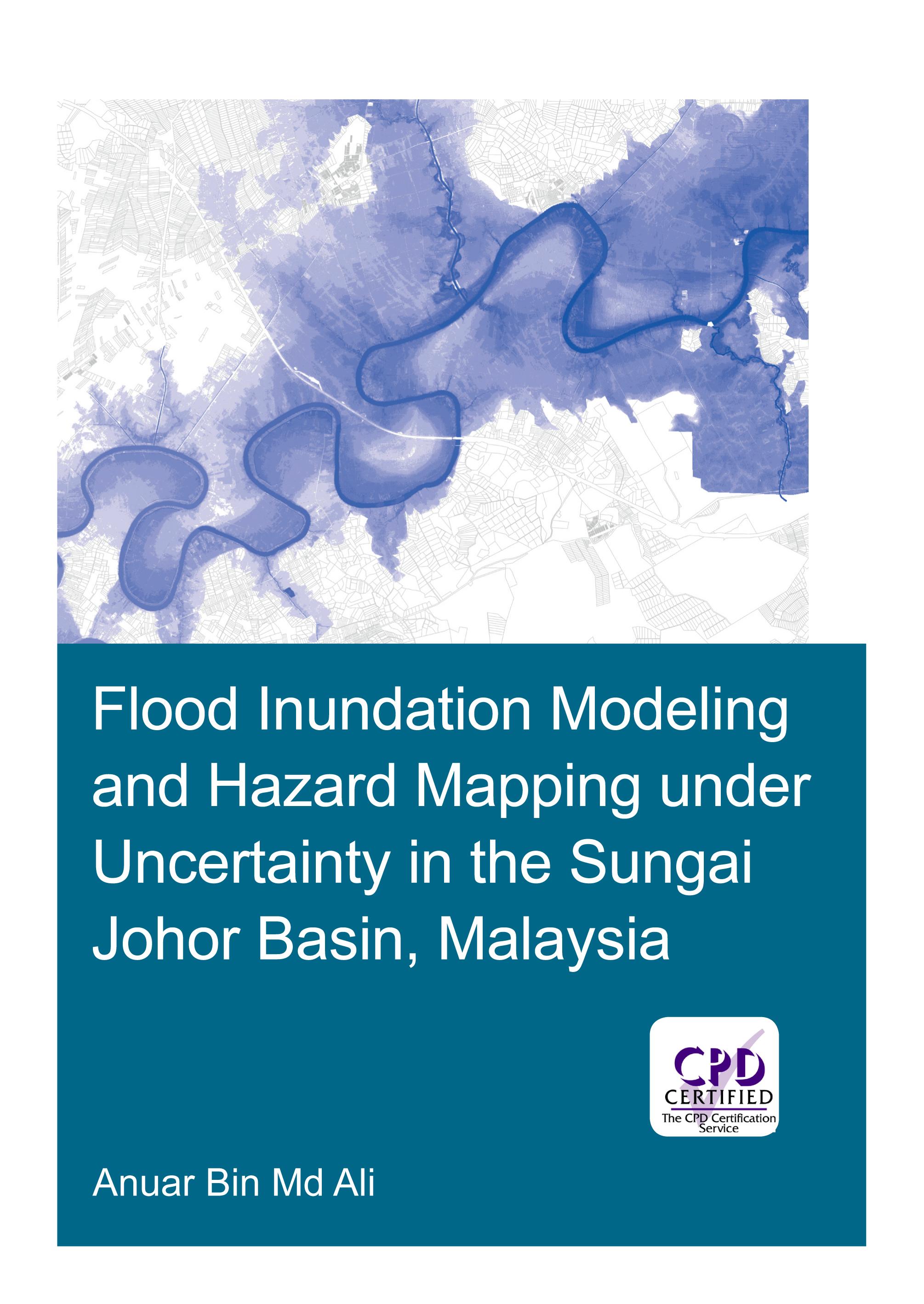
Flooding can have devastating impacts on people’s livelihood, economy and the environment. An important instrument in flood management is floodplain maps, which assist land planners and local authorities in identifying flood-prone areas, and provide useful information for rescue and relief agencies for their operations. Developing floodplain maps often involves flood inundation modeling. This typically requires precipitation and stream flow data, topographic information, building a hydraulic model and calibration of its parameters. Often however, floodplain maps are built on a single model outcome without an explicit consideration of all the sources of uncertainty in the modeling process.
The research presented in this thesis addresses the uncertainty in flood inundation modeling, which may arise from input data and hydraulic modeling approach. The study area is the Sungai Johor basin in Johor, Malaysia, an agriculture-dominated area. The present study analyses the modelling uncertainties arising from estimations of design flow, terrain data sets, geometric description in hydraulic models and different modeling approaches, and develops recommendations for practitioners. Explicit account for uncertainties and studying their impact in flood inundation mapping allow for more informed and effective decision making.
Betal nemt med kort, Klarna, Apple Pay eller Google Pay. Ikke tilfreds? Du har altid 14 dages fortrydelsesret. Læs mere i vores vilkår. Har du spørgsmål, så send os en mail på hello@memmo.org.
Memmo gør det nemmere at studere – uanset hvor du er i verden. Hos os samler du dine kursusbøger og smarte studieværktøjer ét sted: resuméer, quizzer, podcasts og flashcards. Og så er der Ted, din studieven, der svarer på alt, du undrer dig over. Over 50 000 studerende studerer allerede her – bygget til at hjælpe dig med at lære hurtigere og stresse mindre.